Byron Brumbaugh

October 27, 2020

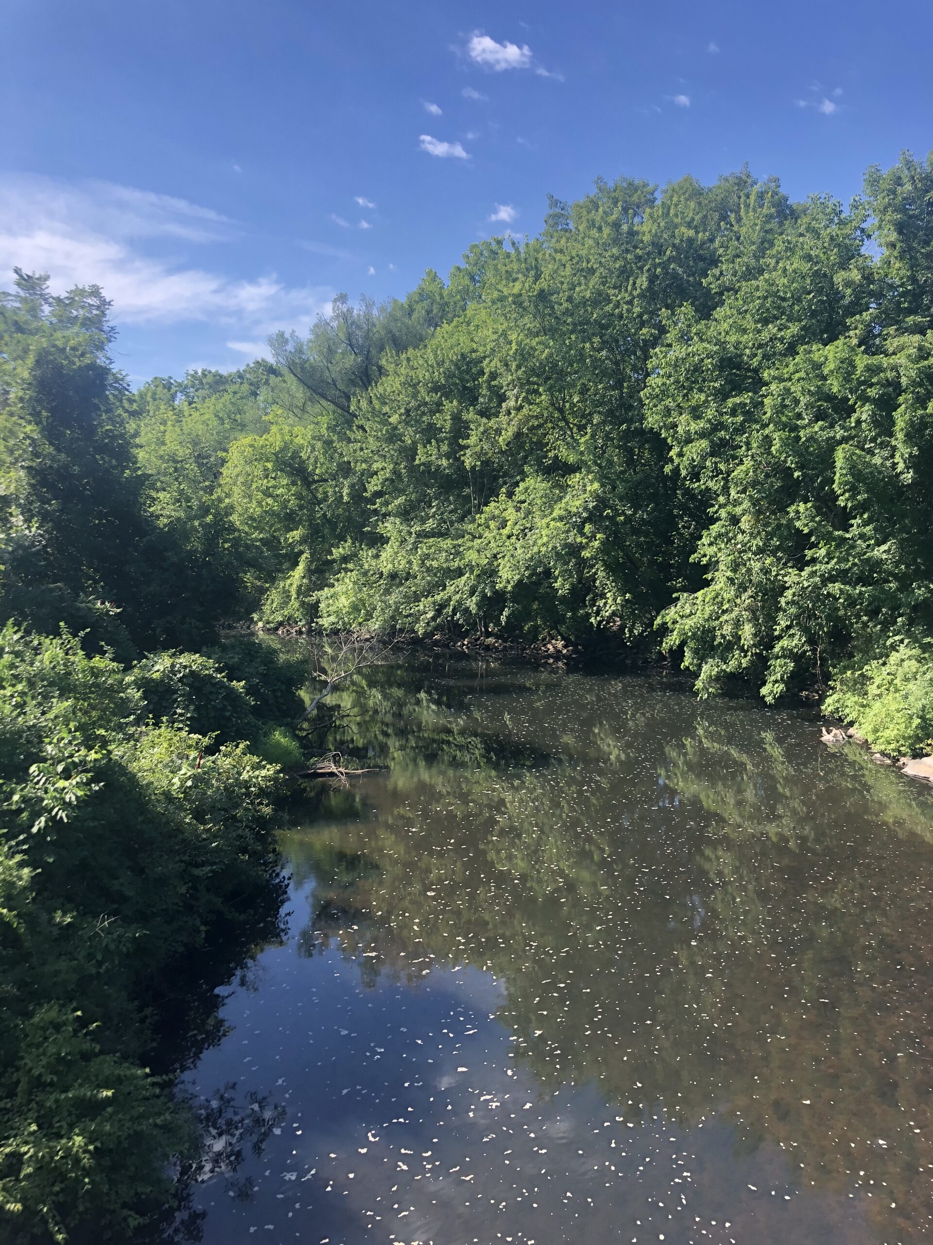
Cape Cod Canal, looking south toward the Atlantic, from the Bourne Bridge.


But the beauty is in the walking – we are betrayed by destinations.

-Gwyn Thomas


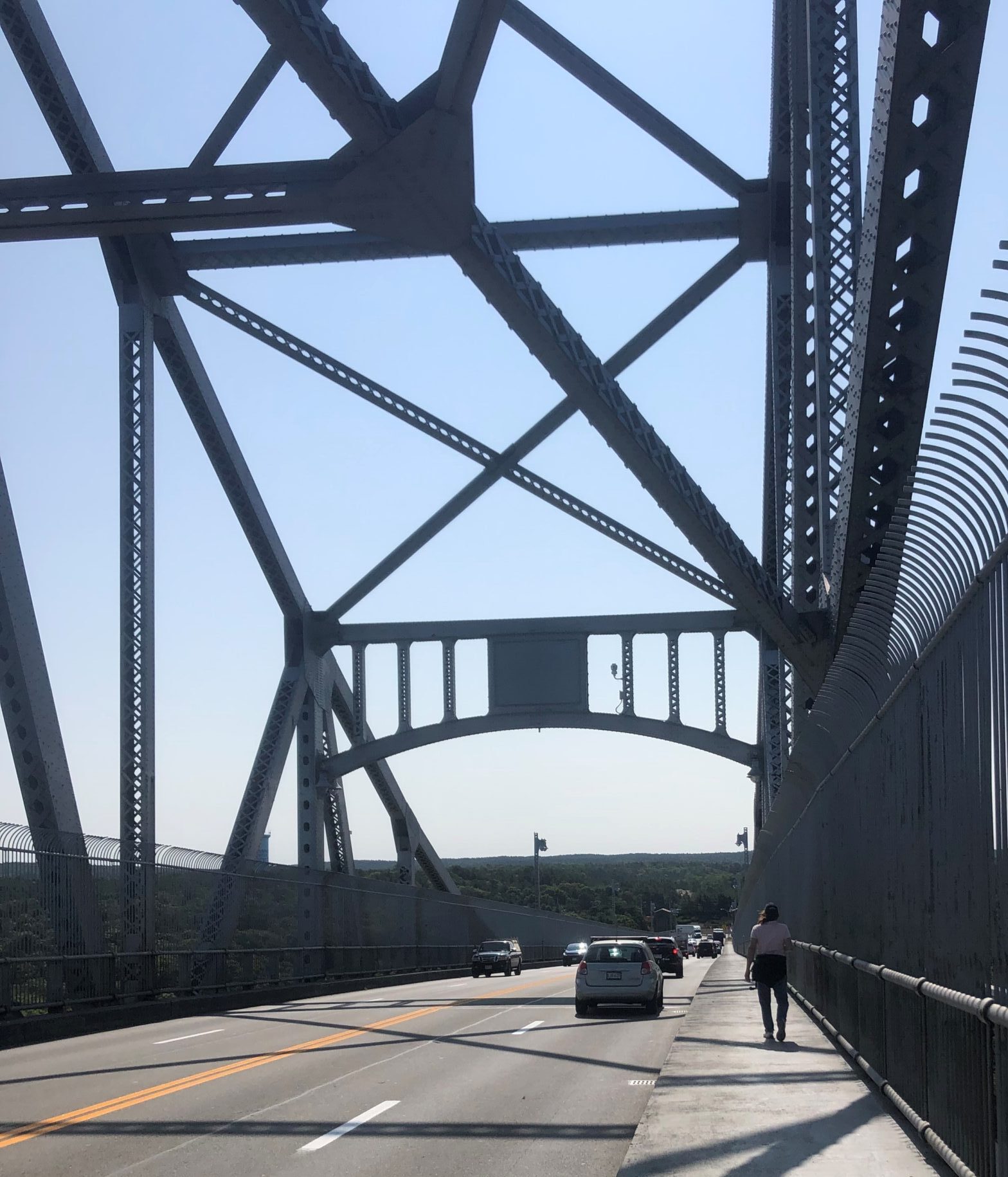
From Wareham, our trek finally leads to the Cape Cod Canal at Buzzards Bay, only 4.3 miles away.  Cape Cod is a peninsula that juts straight out into the Atlantic Ocean, then bends around in the shape of a human arm flexed at a right angle.  The elbow is near Chatham, and at the extreme end of the cape, where it curls around into Cape Cod Bay like a furled fist, is Provincetown.  The Cape Cod Canal is a manmade slice of water that cuts the cape at the shoulder, passing between the towns of Sagamore and Sandwich in the north, and Buzzards Bay and Bourne in the south, making the cape an island.  Without the canal, shipping would have to travel up to an additional 150 miles to get around the peninsula.  Originally conceived by Myles Standish in 1623 and occasionally reconsidered afterwards, nothing much happened until dredging started in 1909.  The canal was opened on a limited basis seventeen days before the opening of the Panama Canal on July 24, 1914.  It is 7 miles long, the longest sea-level canal in the world, 480 feet wide and its maximal depth is 32 feet at mean low water.  There are three bridges which span the watery gap, the Sagamore Bridge to the north and the Bourne Bridge, plus the Cape Cod Railroad Bridge, to the south.  Construction for all three began circa 1933.

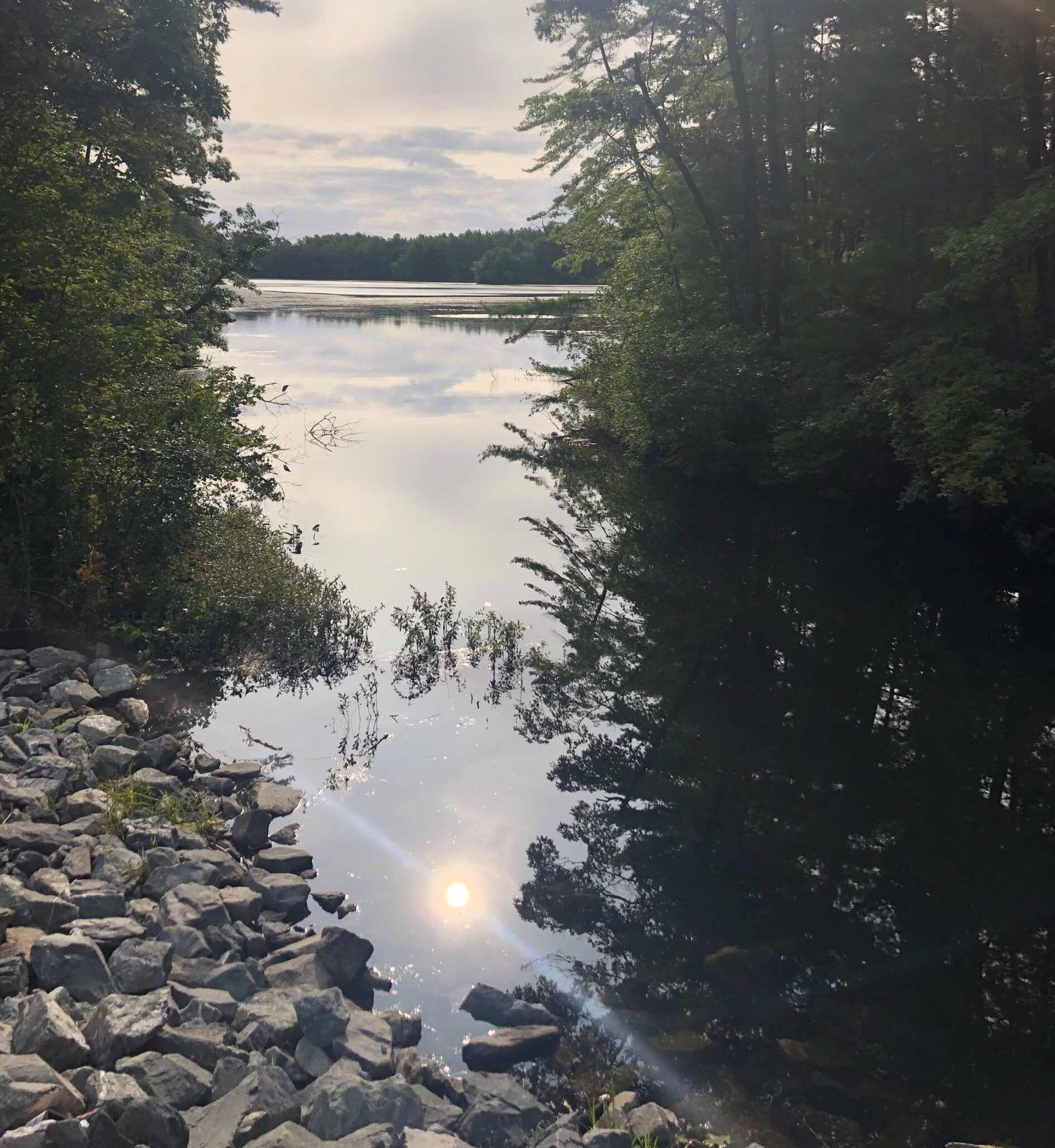
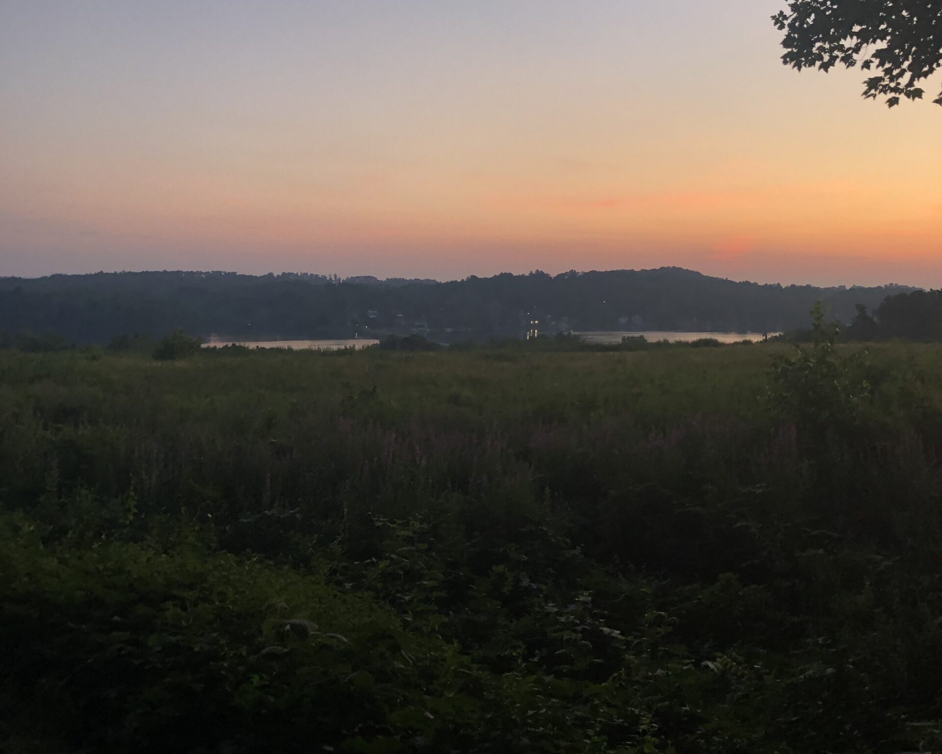
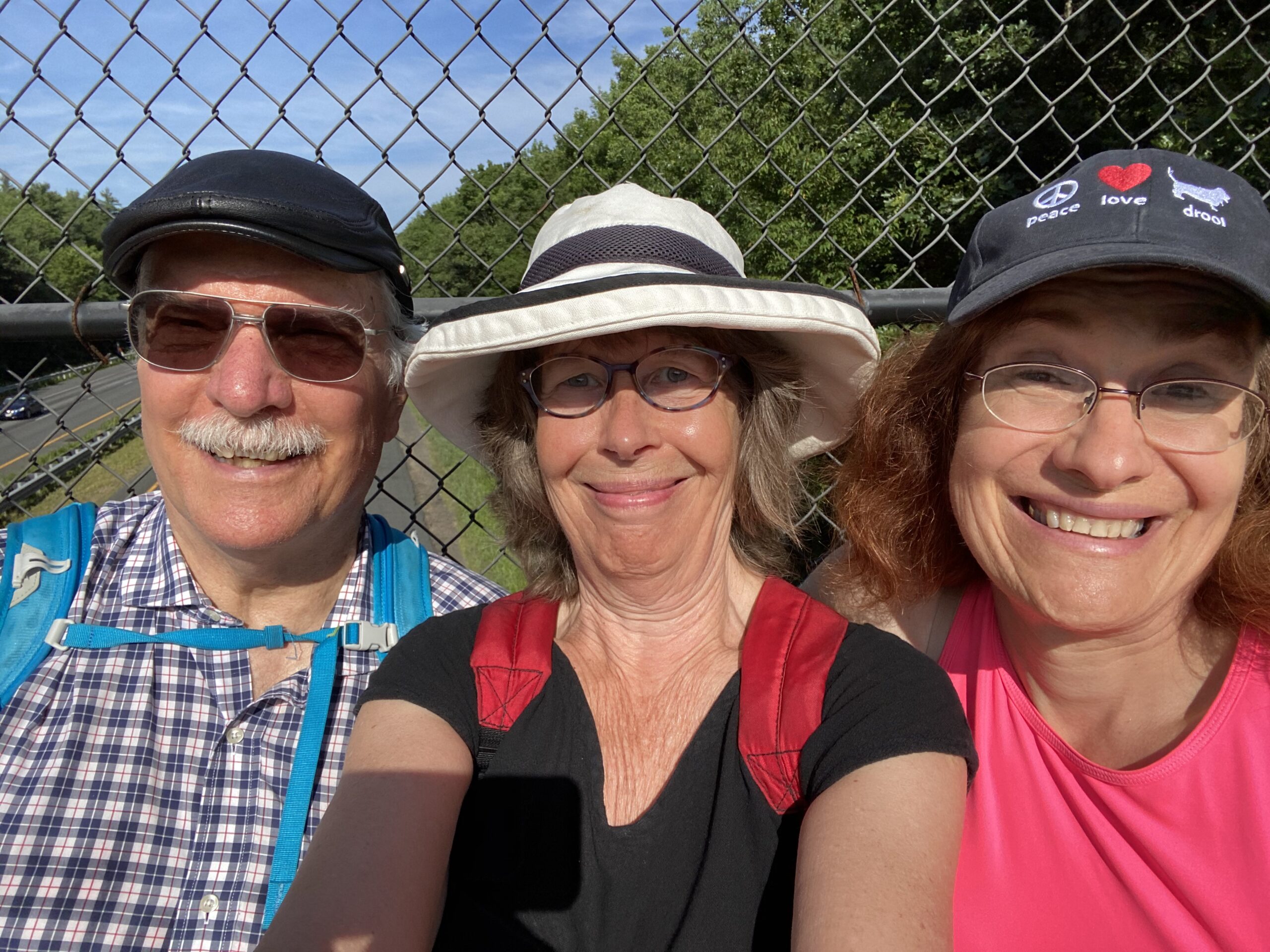
Our route takes us from Wareham along city streets to the canal at Buzzards Bay.  There, we follow a bicycle path that runs next to the water, to the Bourne Bridge where we cross.  At the bridge, the road rises in an arc and we pause at the apex, high above the canal.  Behind us, mainland Massachusetts stretches west some 200 miles in the sidewalks, streets, highways, trails, rail-trails, and foot paths we pounded step by step.  In front of us lies about 60 miles of more of the same.  Beneath us flows a wide body of water that served as a beckoning milestone for almost seven months.  A body of water that, in one direction, bends around in a gentle curve and then gets lost in trees.  In the other direction, it passes under the nearby railroad bridge, then widens out into Buzzards Bay and the Atlantic Ocean.  We take one more step east and, finally, after all this time, we’ve made it to the Cape!  Filled with a sense of accomplishment, but with our eyes on the prize, we continue on to another bike path, also running next to the water.  We’ve made it to the cape, but we still have more to go.

The three of us just keep plodding along until, 13.6 miles from Wareham, exhausted and sore, we finally make it to our car in Sandwich.  Sandwich was settled in 1637 by approximately sixty families from Saugus.  It was named after Sandwich, Kent, England.  It and Yarmouth are the oldest towns on Cape Cod.  In the 1650s, the Religious Society of Friends (Quakers), were attracted to the area.  The Massachusetts Bay Colony banished them and in 1659, executed some.   Despite the persecution, the Quakers never completely left and, today, Sandwich’s Quaker Meetings are the oldest continuous Monthly Quaker Meetings in America.  In 1826, the Boston and Sandwich Glass Company arrived and doubled the population.  In 1854, the factory was open 24 hours a day, employed 550 workers and produced 5,200,000 pieces of glassware annually.  Today, the town is part of the Cape Cod resort industry and sees thousands of itinerant visitors each year.  The population as of 2020 is 2,866.

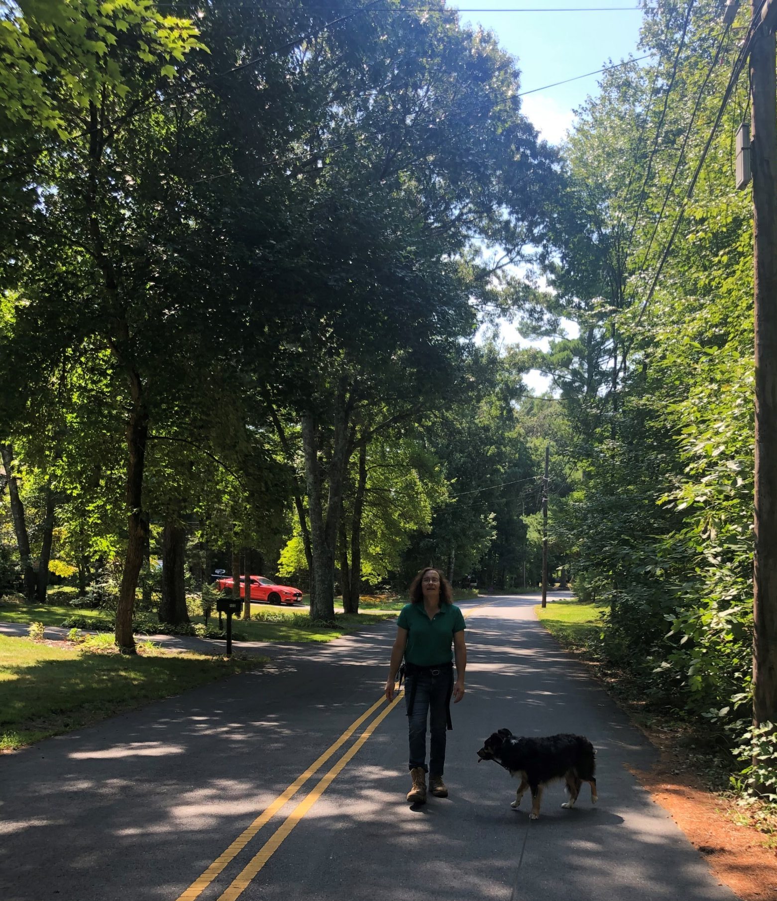
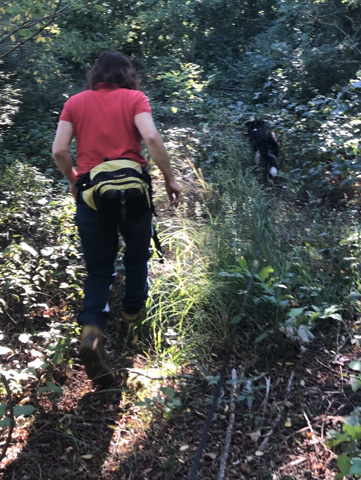
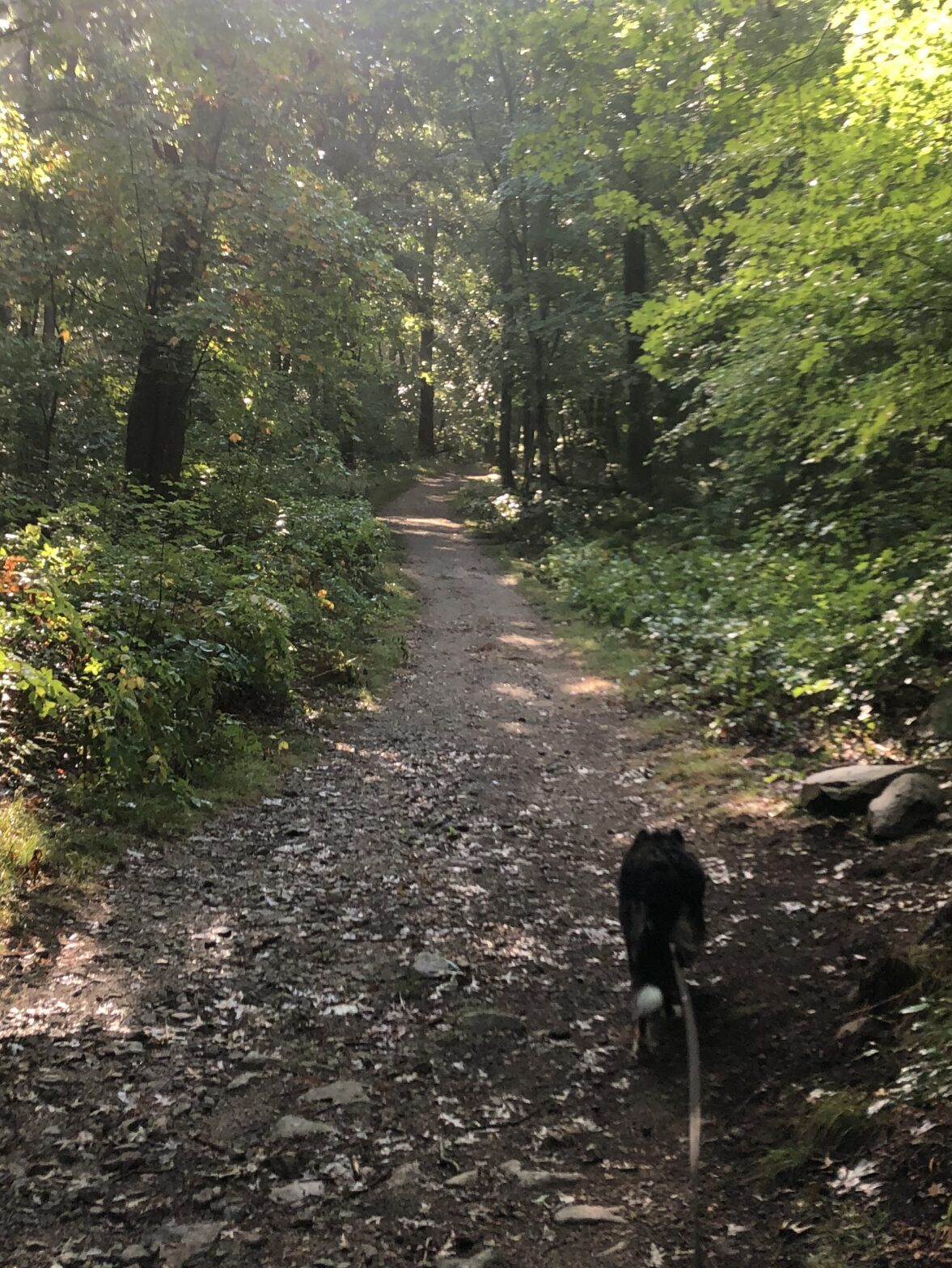
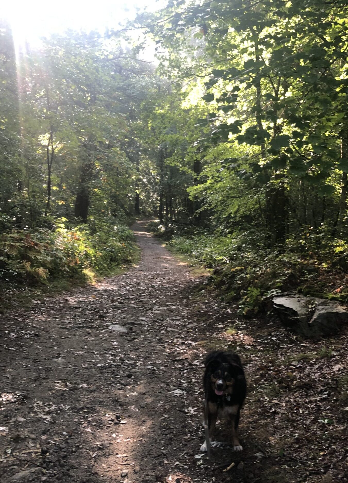
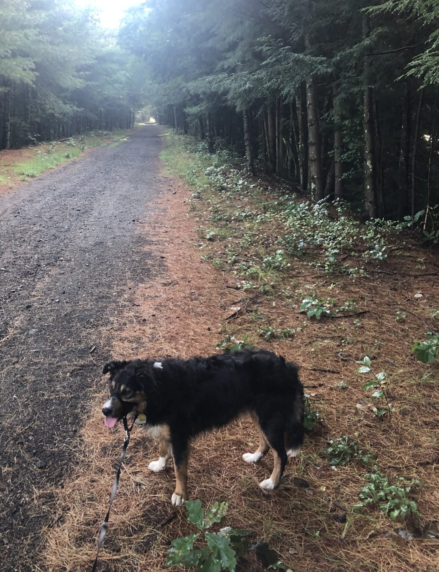
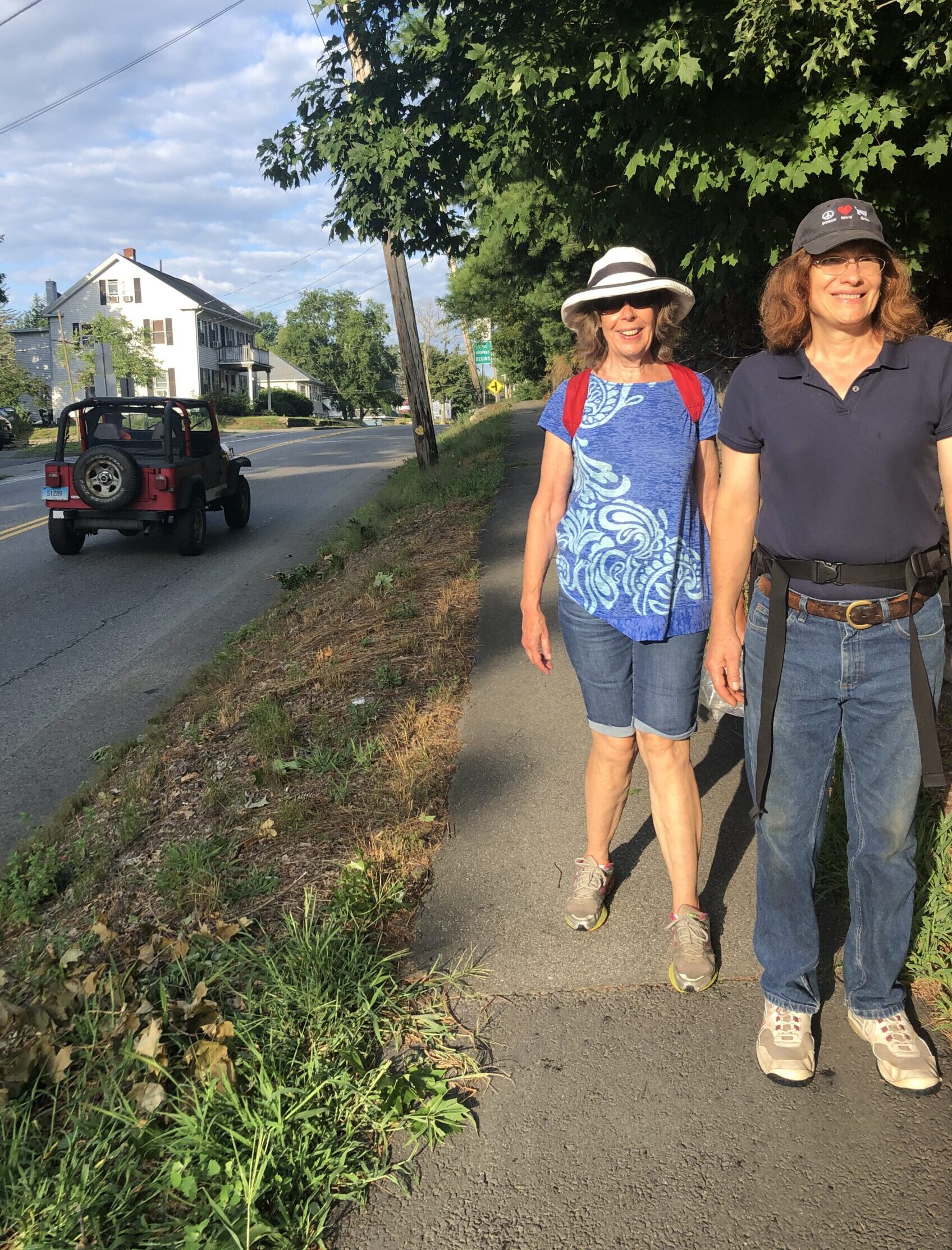
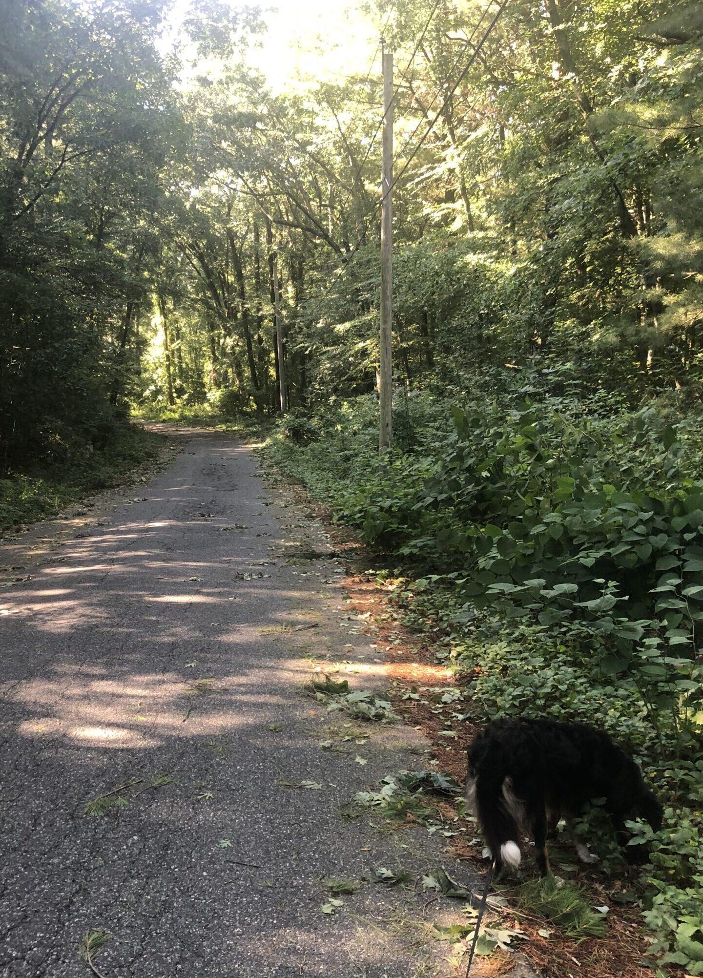
Three days later, we walk from Sandwich to Centerville.  I look for routes on Google maps that have back roads or, when possible, walking trails.  In order to select such a route, I have to force the program to make it track where I want to go.  This splits up the route into segments and the software does not list an overall distance.  I have to guess the distance from the time Google says it will take us to walk it.  My guess for this leg was about 13 miles.  I am wrong.  It turns out to be 15 miles.  Man, I thought the last leg was long!  Unfortunately, there are no places to park a car that wouldn’t significantly shorten the trip.  Even though it proves to be longer than desirable, we did find and follow interesting trails, some of which didn’t appear on non-Google map software.  Christine, Waldo and I just keep plodding along, putting one foot in front of the other, until we finally make it to our destination, a Dunkin’ Donuts in Centerville, after over five hours.  Man, was I ever glad to sit in the car seat when we got there.

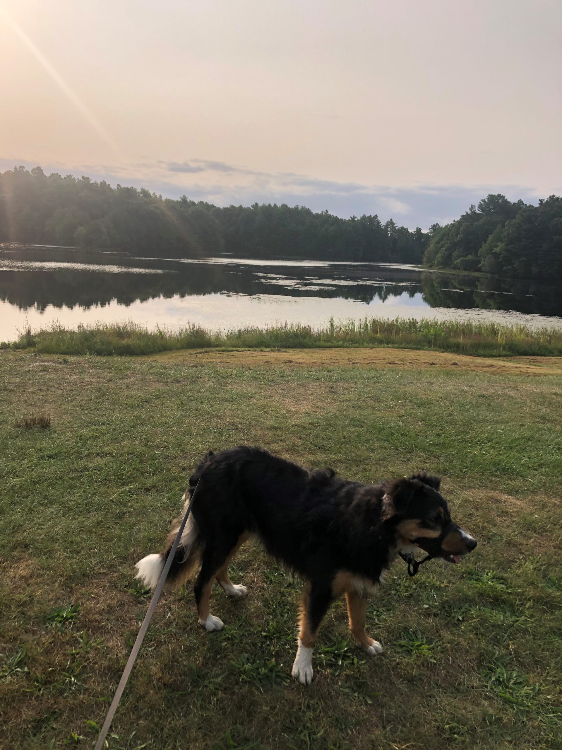
These last two legs have been brutal, but we are getting close to our goal.  We definitely want to get to the P’town beaches before the wintery cold weather sets in.  I don’t think I want to go swimming in the Atlantic, but I would like to wiggle my bare toes in the seawater and wet sand without them getting frostbit.  Christine just might brave a dip, wearing a wetsuit.  And Waldo, he’s never seen so much water!

It’ll be really interesting to find out how Waldo reacts to the surf when we get to the end of our trek.


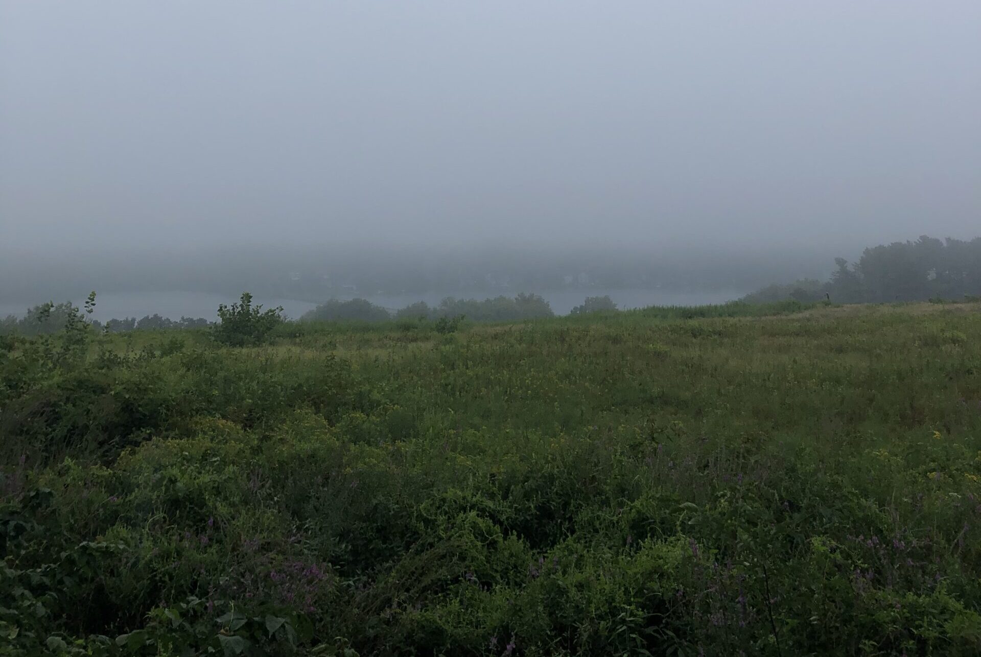
The moment we crossed over to the Cape.

Posted by Byron Brumbaugh in Walking with Waldo, 0 comments

October 20, 2020

Lake Rico at the edge of Massasoit State park.


We are tied to the ocean.  And when we go back to the sea, whether it is to sail or to watch, — we are going back to whence we came.

-John F. Kennedy


From Rico Lake in the Massasoit State Park in Taunton, we hike through the park, through the town of Lakeville and end in Rochester at the Old Colony Regional Vocational Technical High School.  The Park is heavily wooded and hosts a large number tree species.  Up until now, I have appreciated the many different kinds of trees that have offered their shade to us as we walk along, but I never bothered to speciate them.  Once in the park, I began paying more attention to the arboreal splendor New England displays.  There is, of course, the usual red oak, white pine, red maple, and hemlock, but the park also has catalpa, black cheery, pitch pine, white oak, tamarack and birch.  Christine knows quite a bit about all this and readily educates me as I wonder at the different kinds of trees as we find them.  Bushes and weeds abound as well, and I’m also interested in learning about them.

There is a paved road that meanders most of the way through the park, ending in a plethora of hiking trails that continue on in a number of different directions.  Side roads leading to camping areas split off from the main road and we pass more than a few people as they hike, bicycle and walk their dogs.  Waldo walks along, doing his own version of a nature walk, not speciating what he encounters, I’m pretty sure, but certainly checking everything out. Tail wagging, nose sniffing, he trots along out front, happily scouting out our route.  At the end of the paved road, we pick a path that heads toward where we want to go and exit the park on a narrow back street that has very little traffic.

This part of Massachusetts has a large number of lakes, ponds and cranberry bogs and we purposely choose a route that skirts many and crosses a couple on dikes that run near mid-water.  The bigger lakes have small fishing boats and quite a few migrating Canadian geese.  We also find Japanese knotweed, staghorn sumac, winterberry holly, small-leafed lime, northern bayberry and Chinese arborvitae.  I downloaded an app that helps me figure out what kind of living thing we come across, all the way down to the species if I’m lucky, but there is so much life and so little time.  The walk is 13.3 miles long and would take us close to five hours to complete it if we walked without break.  If I stopped and wondered at every weed and insect we passed, we wouldn’t finish until the following day.  So, instead, I focus on a few bits of biology as we go along and defer much curiosity to investigate in the long run.

You might wonder why I have developed such an interest in naming what I see.  I haven’t been all that interested in labeling stuff in the past.  But I find that taking the time to identify parts of the natural world forces me to pay closer attention to and engage more fully with Mother Nature.  And that, I find very fulfilling.

We end up at the Old Colony Regional Vocational Technical High School in Rochester.  From there, after two days of rest, we continue down back roads to Wareham, another 13.3 miles down the road, where we left a car at Don’s Custom Upholstery.  Wareham sits on the shore of Buzzard’s Bay and is home to many yachts and pleasure boats.  It was officially incorporated in 1739 and was named after a town of the same name in England.  Its early industry revolved around shipbuilding and related industries.  It also serves as a resort town.  Its population is 22,666 and is the birthplace of the actress Geena Davis.

As we get closer to Wareham, the ground gets more and more sandy and the road is absolutely flat.  No hills here.  The air smells of the sea — a familiar aroma to Christine and me as we’ve both spent significant parts of our lives living and sailing on sailboats on the ocean.

We’re pretty tired as we climb into the car to return to our starting point and we decide to wait for three days before we continue.  Even Waldo is spent.

Our next leg takes us across the Sagamore Bridge and we’ll finally be on Cape Cod!


Middle of Massasoit State Park.

Posted by Byron Brumbaugh in Walking with Waldo, 0 comments

October 14, 2020

Nice shady, tree-lined road.


My soul is full of longing for the secret of the sea, and the heart of the great ocean sends a thrilling pulse through me.

-Henry Wadsworth Longfellow


Our next stop is just west of Taunton, 12.5 miles from North Attleborough.  Most of Taunton’s settlers were originally from Taunton in Somerset, England, when the town was incorporated in 1639.  A long history of iron industry in the area started in 1656 with the Taunton Iron Works and was known in the nineteenth century as “Silver City” for its many silversmithing operations.  As well as bar iron, the iron industry also produced goods like stoves, tacks and machinery.  In 1846 there was even a steam locomotive plant as well as textile mills, brick-making and shipbuilding.  During WWII, Taunton housed a prisoner of war camp containing German and Italian soldiers.  The National Weather Service now operates a regional weather forecast office in Taunton.  The City is trying to attract semiconductor, electronics and biotechnology firms.  In 2012, the City opened the Global War on Terrorism War Memorial.  The population of Taunton is 57,464.

The days are starting to cool down a little since high summer.  The temps can still get up to the low eighties around 4 o’clock, but the mornings are in the cool low sixties if we start early enough.  Today, we started just after seven and the temperature was a friendly 64 degrees.  We’re starting to have to drive farther before we can start walking; it took about 45 minutes this morning.  As we get closer to the Cape, it’ll take even longer, especially after we cross the Cape Cod Canal, since there are no freeways on Cape Cod.  We start from a Dunkin’ Donuts’ parking lot in North Attleborough and we’ll end up in a Dunkin’ Donuts in Taunton.

The streets we chose to follow are not terribly busy and some even have sidewalks.  Waldo saunters along, doing his Waldo thing, at the forward end of the leash.  Christine’s natural pace is faster than mine, so I’m often left a little behind.  This creates a leash-snarl of sorts as Waldo, eight meters in front of me, seems to have a talent for positioning himself so that Christine is constrained by his tether.  Maybe it’s part of his herding instincts?  He does it without looking behind him to see where we are, so he’s doing it by some none-visual cue.  Christine tolerates it well and often ducks under the line, to just have to do it again in 10 minutes.

The time and distance flows by quickly as Christine and I become engaged in discussions about personalities, morality in interpersonal relationships, effectiveness of certain types of behavior and the pursuit of happiness, with some Buddhism added in here and there.  This can be quite a challenge at times as Christine is often a few feet in front of me and traffic noise can be loud, but we manage.  When we finally get to our target Dunkin’, I’m spent, and pleasantly exhausted.  It’s strange, but these 12.5-mile treks seem less of an ordeal than my daily six-mile walks with Waldo.  Don’t get me wrong.  I love those hikes on the Marlborough Rail-Trail with Waldo, an occasional neighbor and Mommy Nature, but I’m glad when they’re over.  Today, I feel more tired, but it also seems like I’ve had a real good time.  The newness of the path helps, but the fine company is a real asset.

A few days pass and we continue with a 10 mile walk from the western side of Taunton to a beach on Pico Lake in Massasoit State Park, Middleboro.  Middleboro was settled by Europeans in 1661 and they called the town Nemasket, from a Native American settlement along the Nemasket River.  Nemasket means “place of fish,” as there are large numbers of herring that migrate up the river each spring.  The town name was changed to Middlebury and then it was incorporated as Middleborough in1669.  Both names were derived from a town in the Nethererlands, named Middleburg.  Alden Shoes are manufactured in Middleboro, one of the last remaining shoe manufacturers in America.  It is the corporate headquarters of Ocean Spray cranberries.  In 2012, a town ordinance was passed, banning the public use of profanity with a fine of $20.  However, this was deemed to be unconstitutional and its enforcement was blocked.  I wish I knew that when we were there, I would have been sorely tempted to leave a blue streak in the air.  Today, Middleboro’s population is 25,121.

When we drop off the end-of-trek car at the lake, the temperature is in the mid fifties and there is a billowy mist hanging over Pico Lake.  It’s just after 7 AM and there are a few people already putting small boats out onto the water.  One small boat, carrying just one man and fishing rods, is close to shore and can be seen through the fog.  The boat and fisherman seem to be hanging in a cloud, slowly drifting through space and time, perhaps seeking serenity.

We leave the Dunkin’ in Taunton and the walk is much like the last leg until we get close to the lake.  We pass a sign that boasts, “King Field,” a small airport with two hangars and grass runways.  We also pass a sign that says, “No Herring Removal.”  They must be protected to some degree.  It really feels like we are getting close to the ocean, although we’re still a good 16 miles from the sea at Wareham.  We’re only 20 miles from Buzzard’s Bay and the Cape Cod Canal.  It won’t be long now.

Next week, Cape Cod!


“Come on! Catch up!” says Waldo.

Posted by Byron Brumbaugh in Walking with Waldo, 0 comments

October 6, 2020

Sometimes things can get kinda funky.


“It’s a dangerous business, Frodo, going out your door.  You step onto the road, and if you don’t keep your feet, there’s no knowing where you might be swept off to.”

-J.R.R. Tolkien


Karen decided to stop coming with us on our trek.  Everything is fine, she is healthy, life just got in the way.  We’re going to miss you, Karen, and your superb navigational skills.

Over the past week, Christine, Waldo and I have walked almost twenty miles (19.3 or so).  We started in Millville, walked to Franklin on the SNETT (9.3 miles), then, a couple of days later, took to the streets and walked another 10 miles to North Attleborough.

Franklin was first settled by Europeans in 1660, then incorporated during the Revolutionary War in 1778.  It was named after Benjamin Franklin, who donated 116 books to the settlers.  The Franklin Public Library has been open to the public since.  It is supposed to be America’s first public library.

Franklin is also home to America’s father of public education, Horace Mann, as well as to the country’s oldest continuously operational one-room schoolhouse.  It was operational from 1792 until 2008.  Franklin’s population is 34,087.

The SNETT changes its nature between Millville and Franklin.  In places, it’s paved and busy, in other places, it is graveled and less traveled, and it has spots where it is little more than a footpath.  While on the path, it’s hard to get lost – but it also has its funky spots.

There’s a place on the edge of Woonsocket, just barely in Massachusetts, where the trail leads up to the Blackstone River and stops.  No bridge.  We bushwhacked around some fences then left the SNETT for city streets.  Wandering into Connecticut for a bit, we crossed the river on a street bridge.  Here, asking directions proved better that asking the GPS and after some educated guesses, we again looked for the trail.  There was this piece of sidewalk that the GPS said was where the trail was supposed to be, but there were no indications that it was anything other than a sidewalk.  We walked on in faith, then found something that looked more like a trail that peeled off to our left and was going in the right direction.  Soon, we were away from the city and it was clear we were where we were supposed to be.

Another funky spot, about a mile from the end of the trail in Franklin, is where a tunnel is being constructed under a street.  The trail and street are fenced off until the work is done.  We clamored up one side of the embankment and down the other, right next to the fence, and had little trouble – except Waldo was wondering what we were doing.  We could see where we had to go, it was just a matter of getting there.  Even today, there are places where you have to fight the underbrush to get to where you’re going.

The next bit of our week’s journey, after a day of rest, is to take to the city streets 10 miles to North Attleborough.  In precolonial times, the area was the site of the Bay Path, a major Native American trail to Narragansett Bay, the Seekonk River, Boston and parts of Rhode Island.  The English settled in the region in 1634.  Originally, the settlers subsisted on agriculture, fishing and hunting.  George Washington slept there with his army as they moved to Boston to rid the city of General Thomas Gage’s troops.  There were some mills and factories in the area early on, including button and nail manufacturing, textiles, jewelry, and cotton spinning.  Due to its proximity to Gillette Stadium, just 5 miles away, it is now home to many professional athletes. Its population is 29,349.

We are able to follow back streets most of the way, the day is cool and there is plenty of shade from the abundant trees lining the road and the walk is very pleasant.  Waldo is a little nervous, being so close to traffic, but the traffic is slow and not at all heavy.  I’m sure he misses the rail-trails.  Most of the way, we have sidewalks to follow, something that has been a bit of a luxury so far on our trek.  Though there aren’t street signs everywhere we walk, we are able to muddle through without our getting lost, or GPS losing us.  We just make the little triangle go along the trail of blue dots on Google Maps, you know?

In a sense, we’re wandering, roaming into places we may have been, but never afoot.  It wasn’t too many years ago and we might be going to the same places by following maps.  Maps are great, as long as, every once in a while, you come across a “sign” that tells you, “You are here,” in some form or another.  There were many times in my past when I had little idea of where I was on the map, so it was of little use.  Even in the twenty-first century, you can have the same problem.  Your map is on your phone instead of a large piece of paper, but GPS can only locate you on the map when it can get a good satellite signal.  It didn’t happen to us on our last few trips, but in the past, we’ve gotten lost because GPS lost us.  We sorta knew where we were, but GPS didn’t.  It cost us a good three-mile detour in Dalton.  That was painful.

Ah, the trials and tribulations of the twenty-first century.  I can only imagine what walking in this country was like before there were maps or GPS.

Even with all the fancy gizmos, though, it’s still an adventure.


And sometimes things can get REALLY funky.

Posted by Byron Brumbaugh in Walking with Waldo, 0 comments

September 29, 2020

Back on the SNETT.


Compassion becomes real when we recognize our shared humanity.

-Pema Chodron


Today, we head out for Millville, about 7.5 miles further down our path to P’town.  Originally inhabited by the Nipmuck people, Millville was first settled by Europeans in 1662, just 42 years after Plymouth Colony was established.  It wasn’t officially incorporated until 1916 and now has a population of 3,265.  The town lies in the Blackstone River Valley National Heritage Corridor and has a well-preserved lock which was used on the Blackstone Canal in the early 19th century.  It also has a historic Friends Meetinghouse.  As its name suggests, it grew around a succession of mills, but in the 1800’s.  The canal, and later, the Providence and Worcester Railroad, provided a means for the transportation of manufactured goods that contributed to the area’s growth.  It was hit pretty hard with the recession of 2008 and is still struggling today.

To get to Millville, we’ll continue on down the SNETT (Southern New England Trunkline Trail) from Douglas.  This part of the trial gets a little funky.  In places, it’s a broad, level and graveled path. In other places, it narrows to a rocky footpath.  In one place, as we come to Route 146, a four-lane divided highway, it dwindles into nothing, choked by rocks, undergrowth, and a steep embankment.  When we lose the trail, we have to backtrack and clamber down an incline to a seldom used path that runs right next to Route 146.  A short distance later, we come to a bridge passing over a street and we have to scramble in the weeds beside a hurricane fence to get to the street.  Once there, we follow the pavement, turn onto other streets, until we come across the trail again.  The trail there is cared-for gravel that soon becomes paved.  The blacktop then continues all the way to our destination in Millville.  Such is the nature of this trail.  It varies depending on the effort supplied by the communities through which it runs.  It’s definitely a work in progress.

The country we plod through is forestland.  There are no large bore old trees, at least, very few, but many trees that are fifty years old and younger.  The shade is contiguous and the temperature in the high sixties and low seventies.  People pass us, and the number and makeup of those who do vary with the nature of the trail.  There are a lot of people out and about on the paved parts – families with strollers and young children, joggers, bicyclists, and dogwalkers.  The numbers dwindle on the graveled parts where we see mostly dogwalkers and a few mountain bikers.  We are entirely on our own when we have to bushwhack it.  What’s the matter?  No one with a sense of adventure?

There does seem to be quite a few people out on the trails where we go.  Maybe it’s the influence of Covid, I don’t know.  I did notice an increase in the numbers when everyone was sequestered at home in March, but the numbers seem to be higher than this time last year, even though restrictions have loosened somewhat.  Maybe, just maybe, once people got a taste of walking down these byways, they started to appreciate their worth.  I am pleasantly surprised by the demeanor of everyone we pass.  They all seem happy, friendly and quietly, thoughtfully enjoying themselves.  There is more than one community where someone started a rock garden with a sign that reads something like, “Take one.  Leave one.  Share one.”  Some are just bare stones that can easily fit in the palm of your hand, some are painted bright colors with terse messages meant to brighten the day, like, “Live.  Breathe.  Love.”  Even in these dark days of divisive politics, people on the trails seem to be reaching out, offering and receiving a welcoming message of shared humanity.  The world could use more trail-greetings and fewer street-confrontations.

I think Waldo shares in this spirit.  No longer is he a puppy who pulls at the leash so hard he rubs himself raw.  Now, he never barks or growls at other dogs we pass.  He doesn’t make himself a nuisance for other people, or pull at the leash with all his might, trying to get at something that’s grabbed his attention.  He just plugs along, checking out that part of spacetime we’re passing through, taking it all in, never making a fuss.  And he is always eager to make a new friend.

Our next stop is Franklin, the end of SNETT and another 10.3 miles closer to our goal.


Some places on the SNETT are smoother than others.

Posted by Byron Brumbaugh in Walking with Waldo, 0 comments

September 22, 2020

Fort Meadows Reservoir through the fog.


The way I see it, if you want the rainbow, you gotta put up with the rain.

-Dolly Parton


It’s raining…  Again.  Not much, mind you, just a sprinkle.  Instead of roaring down in splatters, it’s tickling the leaves, making them chatter like a bowl full of Rice Krispies in milk.  Not even enough to get either Waldo or me noticeably wet.  I start out our morning walk wearing my rain suit because the forecast is for worse.  But it isn’t long before I’m getting wetter from the sweat I generate and can’t evaporate than I am from the water in the air.  The jacket comes off.  The pants stay on because it’s such a pain pulling them over my walking shoes.  The temperature is in the mid-sixties with a light breeze and I feel a little cooler.

We come to the meadow over which we can see the Fort Meadows Reservoir.  A duvet of grey fog looms thick just beyond the houses on the far shore.  No fishermen in their small dinghies are out today.  I can see the roof of the Bolton Street Tavern, which is open again, with restrictions, but no one is parked in the lot this time of day.  I can see and hear traffic on the streets that run along and through the reservoir, but the traffic is light and the sound seems muted.

The birds still chirp, but they seem to be more subdued, huddled, no doubt, in whatever shelter serves them as their lair.  In my mind’s eye, I see them shake their feathers until puffed out, settle on warm bellies and retract heads so that only beaks and eyes show.  The leaves in the trees where they nest will provide them with Swiss cheese roofs and the natural ability of feathers to roll water off without dampening the skin underneath should keep them dry – as long as they stay put, huddled at home.  I understand the sentiment, but ignore it.

During the late fall to early spring, the land bordering the rail-trail is all well-rooted dormant sticks pointing skyward.  The tan-grey Earth, covered by orange-tan dead leaves and hibernating yellowed grass, is exposed, when not buried in snow, and Mother Nature can be seen in her underwear.  The trees are skeletal and you can easily see through them to the environs beyond.  You could, if the mood struck you, draw an approximate topographic map from what you can see.  Now, in the late summer, especially after a good rain, the trail is wrapped in undergrowth, a green fluffy boa sporting red, purple and bright yellow flowers.  The prima-donna trees are all decked out in their leafy finery and obscure what lies beyond, as if to say, “You need not look any further.  What’s important and beautiful in life is here before your eyes.”  Today, the green seems eager to catch the water as it falls from the clouds and pass it on to the ground where roots can drink it in and stir the life-force that generates even more luscious green.

There are a few acorns, black walnut fruits and other seeds lying on the tarmac that have been strewn there by the heavy winds that accompanied other recent storms.  This time of year, they are small and immature, loosed prematurely from their tenuous grip on the nascent tendrils that attached them to their progenitors.  It won’t be many weeks from now and there will be more – mature, large and prodigious.  Many, as big as green tennis balls, will lie on the trail under the walnut trees.  There, in Waldo’s ball court, the two of us will be playing at chase the walnut fruit as we walk along.  Today, the tiny fruit just tease us for things to come.  Any fruit I kick down the path, Waldo looks at and ignores.  They aren’t tempting enough yet to go after.

The rain, although barely worth mentioning, has apparently convinced the squirrels, rabbits, chipmunks and other critters to stay in their burrows and nooks and crannies.  Come on, guys!  Come on out and play!  It’s not as if you’re going to melt because you get a little wet.  Waldo is at the end of the leash, nose pointed to the front, walking briskly.  I don’t see him doing much exploring with his nose or any of his other sense organs.  He’s just walking.

But me, I’m trying to take it all in.


Fort Meadows Reservoir at dawn on a clear day.

Posted by Byron Brumbaugh in Walking with Waldo, 0 comments

September 15, 2020

At first, the trail is narrow and rough.


Not all those who wander are lost.

-J.R.R.Tolkien


The Southern New England Trunk Line Trail, or SNETT, was designated a National Recreation Trail in 1994.  It was built on a segment of the New Haven Railroad’s Midland Division, which operated between Boston and Putnam, CT.  Today, SNETT runs west 22 miles from Franklin, Massachusetts, to the Connecticut state line just south of Webster.  From the Northeastern Connecticut state border, the trail is known as the Air Line Rail Trail and runs a further 54.6 miles west to East Hampton, CT, in the middle of the state.  That’s a total of 76.6 miles of trail!  I’m tempted to walk the rest of it one day, but for now, we’re going to walk only that part that runs from less than a mile from the Connecticut border to Franklin.  It is level, fairly straight and paved with gravel – at least the part of it that we’re following today.  Many believe that the railroad tracks were laid for commuting from northern Connecticut to northern Massachusetts.  In fact, the route was used to haul ice from Wallum Lake, south of Douglas, to Connecticut.  The route was originally planned as a regular railroad, but its financier died when the Titanic sank in April 1912.

Our end point is Douglas, about 7.8 mile away.  Douglas was settled by English settlers in 1715 and the name of Douglas was given to the territory of the town in 1746.  It was named after a prominent Boston doctor, Dr. William Douglass who gave some money to the residents to develop the town.  The surrounding forest gave rise to a woodcutting industry and the Douglas axe company.  There was also a woolen manufacturing company that was prominent in the history of the place.  General Lafayette stopped in Douglas during the Revolutionary War, to change horses, on his way to join General Washington in Boston.  Today, Douglas has a population of 8,794 and lies in the 5,907-acre Douglas State Forest, a state recreational area.

We start out on Mike’s Way and the temperature is a pleasant 65 degrees or so.  It rained during the night and the ground is damp, but there aren’t any large puddles of standing water.  We walk less than a mile and we come across the SNETT.  The trail is paved with gravel and isn’t muddy at all.  The roadbed runs in a straight line as far as the eye can see, dissolving in the distance into a haze of foliage.  The bed is raised above the surrounding swampland and lined with trees and bushes.  The shade they provide is contiguous except where the trail runs through the surrounding swamp.  I expected it to be very buggy, but, although there were some mosquitoes, it wasn’t bad at all.

Waldo’s demeanor changes a lot as we walk along.  He’s paying attention to what’s around him and picking up sticks to carry along as he trots his way down the path.  He’s wagging his tail and he’s no longer pulling so hard at the end of the leash.  You can tell he’s having a good time.  The shade and a light breeze add to the cooler temperatures for a really pleasant trip.  We work up a bit of a sweat, but nothing like what we were doing in the recent past.  Waldo drinks the water I offer him only once and doesn’t drink much.

The four of us walk along, the humans exchanging pleasantries as we go.  Christine finds a sassafras leaf and a clinker, a bit of steam locomotive coal, and we talk about each.  Christine is very observant and notices a lot I pass by in ignorance.

We pass four other people on our way to Douglas.  Three are out walking their dogs.  They are local residents who use the trail often.  Before I got Waldo, I had no idea how nice it was to have a good trail to walk on nearby to where I live.  And these trails are all over the country.  Whoever came up with the idea is a genius.  The fourth person we passed was a fisherman towing a kayak on a trolley to a small lake that abuts the trail.

The rest of our journey into Douglas is on a bed that’s raised some forty feet above the surrounding forest with manmade landfill.  That must have taken a lot of effort and money to accomplish.  We end our walk in a forest.  Looking to the east, I can see what the next leg of our journey looks like.  It’s verdant, fecund and shady.

That walk is something I, and I’m sure, Waldo, are looking forward to.


In places, the trail widens and is gravel.

Posted by Byron Brumbaugh in Walking with Waldo, 0 comments

September 8, 2020

Can we go for a walk now? Huh, huh? Can we, can we, can we? Please, please, please?


There is nothing so powerful as truth, and often nothing so strange.

-Daniel Webster


Webster, MA, is just off of Interstate 395, some twenty miles south of Worcester, MA.  It was settled in 1713 and its primary founder was the industrialist Samuel Slater.  Slater named the town after his friend Daniel Webster, the noted lawyer and statesman.  Slater founded several textile mills in the area and is now home to MAPFRE Insurance and the Massachusetts division of Goya Foods.  It is also home to Indian Ranch, a summer concert venue that has hosted acts like Charlie Daniels, Thomas Rhett, the Barenaked Ladies, Scotty McCreery, Third Eye Blind, Huey Lewis & the News, Gavin DeGraw and many others.  It lies next to the largest natural lake in Massachusetts, that lake with the longest name in the world that is unpronounceable — Chargoggagoggmanchauggagoggchaubunagungamaug.  Webster’s population is 17,027 as of 2018.

Today, we make our way along the streets and highways from Dudley to the east side of the lake.  The traffic isn’t too heavy and the temperature is warm, but not too hot.  Waldo is nervous as we trek along on the shoulder of the road and spends most of his time out front at the end of his leash.  I can tell he’s nervous because he isn’t sniffing about, looking for what the world is offering up to his attention.  His snoot is to the ground, pointing straight ahead, and he’s walking in a straight line, pulling at me as if he wants to get to someplace better, someplace more interesting.  Maybe he just wants to get the walk over with so he can get on to something more appealing like the Marlborough Rail-Trail.  I keep him well tanked-up with water and he keeps trucking along.

The area we’re walking through is suburban and urban.  Houses with large green lawns are everywhere with a few patches of forest and farmland.  Then, we make a right turn and we’re on a narrow country lane.  It’s paved, but lacks painted lines – just tarmac.  We pass no cars.  The trees on each side bend over us as if they were reaching out to give us a hug.  The shade and slight breeze are blissful.  Karen has, somehow, done it again and found us a cool byway to trek down.  I could imagine we were sauntering down a country lane like those you read about in English villages.  Waldo relaxes and pays more attention to his surroundings.  I can almost hear him say, “Ahhh!”  I know the rest of us are.

It doesn’t last, though.  We get into Webster and, in a few blocks are in downtown.  There, older buildings front the main streets with negligible space between their front doors and the sidewalks.  I have to shorten Waldo’s leash a bit because of the traffic, which he doesn’t like, but tolerates reasonably well.  Our route takes us next to the French River which is little more than a muddy trickle this time of year.  Before long, the temperature is in the mid-seventies and sweat is pouring from us, soaking our shirts.  We keep to the shade as best we can, but there’s not much to be found in the city.  After downtown Webster, we pass into suburban neighborhoods and can see the lake whose name is unpronounceable through the trees.  It’s not long and we pass a sign that reads, “Indian Park,” just off of Route 16.  The place is quiet, but I make a mental note to visit sometime when it’s happening.  We follow Route 16 for a piece, then go right down Lower Gore Road, followed by a left onto Upper Gore Road.  Before I know it, we’re turning left onto Mike’s Way, a cul de sac containing large homes with well-manicured lawns.  There, a total of about 7.5 miles from our starting point at the First Congregational Church of Dudley, is my car at the curb.  I worry about our cars being towed away if found randomly parked on the side of the road, and we usually use business parking lots.  For this leg, there weren’t any convenient businesses on our route, so, instead, we got permission from the owner of 7 Mike’s Way to park out front.  And there the car sat, a wonderfully comfortable, if a bit hot, place to sit and rest.

For most of the next leg of our journey, we follow another rail-trail, the Southern New England Trunk Line Trail.  This will be our path for the next three walks, a total of about 22 miles.

For now, though, it’s home, AC and a nice nap.


We do pass some beautiful country on our trek.

Posted by Byron Brumbaugh in Walking with Waldo, 0 comments

September 1, 2020

Sometimes your path leads you down a busy highway…


A people without the knowledge of their past history, origin and culture is like a vtrree without roots.

-Marcus Garvey


Dudley, Massachusetts, is a town of 11,390 souls that lies close to Webster.  It was officially incorporated in 1732 and was named after its landowners.  In April, 1776, George Washington and the Continental Army camped there.  They were on their way to New York City after the successful Siege of Boston that resulted in the decampment of the British to New York.  There is, reportedly, a large stash of British weaponry that was hidden there and never found.  Dudley is only a few miles north of the Connecticut border.  Our destination is The First Congregational Church of Dudley, about 11 miles away.

We start our trek at around 6:30 AM and the temperature is a temperate 68 degrees.   The sun is about two fingers above the horizon, shadows are long and there’s a light breeze.  Waldo, after having to sit in the car for an hour or so, is eager to get going and tugs at the far end of the leash out front.  Our route takes us through the eastern part of the town of Sturbridge, but, after a short distance, we’re able to veer off the main drags onto small side streets.  At this time of the morning, the traffic is light and not many people are out and about.

Two or three miles down the road and we’re in Southbridge.  The original village was called Honest Town, but in 1816, it was incorporated as the township of Southbridge.  Water from the Quinebaug River provided power for sawmills and gristmills in the eighteenth century and textile mills in the nineteenth century.  By the 1930s, Irish, French Canadians, Poles, Greeks, Italians and others came to work and live there. The place has a long history of manufacturing optical products and it has the unofficial title of “Eye of the Commonwealth.”  The American Optical Company was at one time the world’s largest manufacturer of ophthalmologic products.  They made the Norden bombsight and even did some work on the atomic bomb during World War II.  The company shut down in 1984.  The population today is 16,878 and now includes Puerto Ricans, Laotians and Vietnamese.  All this history gives the town a quaint old New England town atmosphere.  It certainly has seen a lot of history flow down its streets.

Our route takes us into forested areas embracing occasional patches of meadowland and rustic old barns.  The pastureland is well cared for and it appears the hay has all been recently mowed and collected.  Unlike what we saw further west, there’s no sign of putting up hay, so we don’t know if it was packed into square bails or rolled into round bails.  We do come across a few silos, but there is no sign of any stacked hay.  Maybe that’s just a thing out west, not here in New England.

We trek along, putting one foot in front of the other, and, as the day warms up, we sweat – a lot.  Waldo’s tongue goes further and further out from his snoot and is soon flopping around like a wet, dripping flat noodle.  I give him all the water he wants and let him lay down and rest in the shade when the mood strikes him.  He’s not as curious as he is on the Marlborough Rail-Trail and just trots along out front, nose pointed down the road in the direction of our destination.  It’s as if he, like me, has committed himself to this journey and is intent on seeing it through.  Besides the Waldo stops, we also stop every couple of miles and rest our human buns on conveniently sized boulders placed by some humane person in the shade along the road.  Then we’re up, heads bent against the growing heat as if we were leaning into the teeth of a storm.

Some five hours and eleven miles later, we enter the small town of Dudley. I can see, down the street, the First Congregational Church in whose parking lot we left the car.  I am relieved to see the end of this leg of our journey, the longest so far, but I’m also filled with a growing sense of accomplishment.  Accomplishment not just for having walked as far as we have, but to have born witness, up close and personal, to the part of the country where we live with all of its history, geography, agriculture and natural beauty.

Our next journey, only about 8.2 miles long, takes us through Webster and up over to the east side of Lake Chargoggagoggmanchauggagoggchaubunagungamaug, known locally as the lake with a name impossible to pronounce.  But first, a couple of days of well earned, air-conditioned rest.

Except, of course, for Waldo’s daily 6-mile treks down the rail-trail.


…and sometimes it leads you down an idyllic country lane.

Posted by Byron Brumbaugh in Walking with Waldo, 1 comment

August 25, 2020


We’re enjoying the trek despite the heat.


It’s summer and time for wandering…

-Kellie Elmore


Brookfield is an old town first settled in 1660 and incorporated in 1718 as part of the Quaboag Plantation.  Although he never slept in Brookfield, George Washington did water his horse in Brookfield as he traveled through five of the New England states.  The party would have spent the night there, but the innkeeper had a headache and, when awakened, she thought George was a college president and sent him on to the neighboring town of Spencer.  So, Spencer gets to be one of the George-Washington-slept-here spots and not Brookfield.  In West Brookfield, there is a restaurant, The Salem Cross Inn, built in the eighteenth century, where you can still get a good meal in the twenty-first century.  Brookfield’s population is 37,920.

Our destination today is The Publick House in Sturbridge, about 8.2 miles away.  Settled in 1729, the population of Sturbridge today is 9,640.  The town was named after Stourbridge, England.  Old Sturbridge Village, a living museum that recreates rural New England life during the 1790’s through the 1830s, is a popular tourist stop.  The area used to mine lead, iron and graphite and was one of New England’s first mining operations.  Mining ceased in 1910.

Our starting point is the farm of Christine’s large-animal vet, Dr. Ledoux, who has graciously let us park a car on his land while we hike.  It’s 6 AM and the temperature is in the high sixties, quite pleasant.  Dr. Ledoux comes out and greets us as we start.  He’s off to pick some corn.  Life on a farm starts as early as that of so-let’s-walk-the-length-of-Massachusetts trekkers.  We bid him good morning and start out down the back roads that wind through Brookfield.

One of the really nice things about starting out shortly after dawn, in addition to the cooler temperatures, is that shadows are long.  Even when the sun is up and the temperature starts to rise, there is plenty of shade from the trees that line the road.  The traffic is light this time of day, so we don’t have to deal with too many cars on the road either.  Waldo is really good about walking on the far edge of the road or, when he can, on the surrounding sidewalks or grass.  Unless the traffic is really heavy, I give him his head at the end of the leash and let him explore the world we pass by.

Every two to three miles, sometimes more frequently when it gets hot, we stop at a convenient rock wall, sit and water the dog.  Even when it’s hot, Waldo seems not to want water as much as to just lie down in the shade and rest.  When this happens, we stop and take a break too, continuing only when Waldo gets up without encouragement.  This does prolong the walk somewhat, but it also gives old creaking bones and aching muscles an excuse to chill for a bit too.

The countryside here is a combination of patches of forest, rural homesteads and farmland.  The farms are around a hundred acres or so and consist mostly of grazing pastures, barns, farm houses and occasional silos.  We don’t see very many animals, but cows and horses must be there somewhere or why else would all that pastureland be there?  Maybe they’re hiding from the heat.  There are also small lakes here and there and some of them have boathouses, piers and yachts.  They aren’t the huge yachts like you see on the ocean, but they’re a lot more than a fishing dingy.  The people we pass tell us that they do fish in these lakes, but it’s all catch and release so they don’t need to be stocked.  I know from flying over this area in a small plane at low altitude that the land here is like a slab of Swiss cheese, only instead of holes, there are small lakes everywhere.  I’m thinking it’s probably a water management strategy.

About four hours after we start, we come to Sturbridge.  The streets become busy, broad, sunny and, by this time, hot.  Finally, we come to the Publick House parking lot, our destination.  Once there, we rest in the shade and let Waldo cool off for a bit before we get into the hot car to go home.  The place seems open, and we could get lunch, but all I want is to go home, cool off in the AC and take a nap.

Our next stop will be Dudley, Massachusetts, in three days.


Nothing like a strategically placed pile of rocks to rest a bit.

Posted by Byron Brumbaugh in Walking with Waldo, 0 comments