

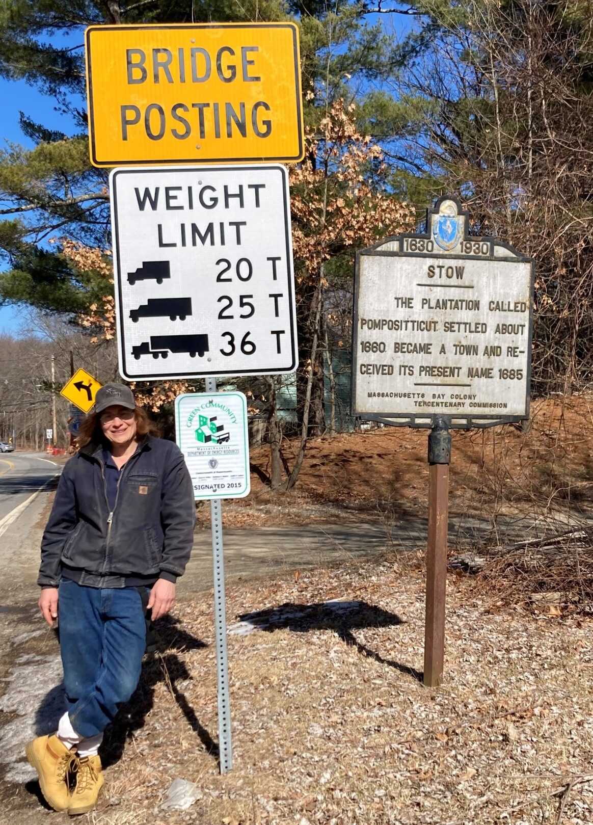
This part of Massachusetts goes back a long ways.
But the beauty is in the walking – we are betrayed by destinations.
-Gwyn Thomas
For some time now, I’ve wanted to walk, in one trip, the southern and northern parts of the Assebet River Rail Trail, and the gap in between. Christine wants to walk from the southern shore of Connecticut to the northern border of Massachusetts this year, so she is interested in doing some longer walks to prepare for that. It wasn’t hard to talk her into going with Waldo and me on the entire ARRT.
I’ve done some reading and the total distance is supposed to be 12.5 miles. I suspect this distance is along the railroad bed and not on the surface streets in the gap. The reason the entire 12.5 miles is not open is that someone has denied access across their property. I can see on the map how to walk along the streets to bridge the gap, but I can’t tell where the property is that we would have to go around. So, this walk will be something of an exploration. I always enjoy these kinds of walks. Of course, Waldo is eager to go on any walk at all.
We leave a car at the northern end of the trail, in Acton, and start from the Marlborough trailhead. The temperature is right around 40℉, but the windchill makes it feel well into the thirties. The sky is cloudy, but occasional patches of sunlight intermittently warm us as we make our way north. The snow is almost gone, but not quite — there are a few short icy white patches we have to traverse, but nothing significant.
After a little more than an hour, and 5.25 miles, we come to the end of the paved trail. The unpaved, unimproved, overgrown, raw railroad bed continues through a swampy area a short distance, then crosses a two-lane highway. We bushwhack our way along the path until we hit the street. I’ve been here before, but, during the summer when everything is covered in weeds. I couldn’t see it then, but now, with all the leaves gone, I can see where the raw roadbed continues on the other side of the street. We continue forcing our way through the weeds until we come onto another street where the overgrown bed joins it at an acute angle, making it appear that the street is following where the rails once ran. We walk on the shoulder of the street and, pretty soon, we come across a spot where the raw railroad bed takes off and heads to the right. Now we have to make a decision. Follow the railroad, or the street.
I’m worried that if we follow the railroad bed, we might come across the private property and be blocked from continuing, which would mean we would have to backtrack. There’s nothing particularly wrong with that, except it would add uncomfortable miles to what is already a long trek. We’ve walked longer, but we were in better shape then. So, we decide to stick to the streets until we pick up the northern part of the rail-trail, roughly 3.5 miles ahead.
From Hudson, we pass into Stow. The streets here are all narrow and wind around as if they were paved over cow paths. As we walk along, we pass by New England history – old homes bearing plaques with family names and dates in the early nineteenth century. Much of this land was, at that time, used for agriculture and most of the trees were cut down. Then more fertile arable land was found out west and farming moved there. Over the last hundred years or so, up to 80% of the trees now growing in New England were planted to reforest the area. Oak tree trunks will grow somewhere around 0.2 inches in diameter per year, so after a hundred years, their trunks will be about 20 inches, or just shy of 2 feet wide. Almost all of the trees we pass are smaller than that, so, even though we pass homes that were built in 1822, few, if any, of the trees we see were alive then.
A little over halfway to our destination, the street we’re following goes through an apple orchard. It’s fairly large, as far as we can see, and stretches out on both sides of the road. This is country out here, about 30 miles east to Boston and 25 miles south to Worcester. Even without the orchard, homes are widely spaced and separated by forest and undergrowth (and somewhere off to our right, the overgrown railroad bed). There are many idyllic spots where it’s easy to imagine spending leisurely hours, peacefully communing with the natural world.
We come to the southern end of the northern part of the trail heading north and, across the street from there, I can see the continuing part of the unimproved railroad bed heading south. I mention to Christine, “I wonder how far you can go down thataway…”
“Oh, it dead-ends in an orchard down a ways,” says a passerby. “They won’t let you cross their property.”
Damn. A street passes through the middle of the orchard, where cars go freely. What additional harm could people out for a walk do? Ah, well… Maybe Waldo and I will walk as much of it as we can some other time, when we’re not walking so far, just to see what it’s like.
We continue on our way, on paved rail-trail, for another 3.4 miles, passing through Maynard and then into Acton where our car is parked. Waldo and I have been on that portion of the trail before and it’s familiar. The total distance we walked is 12.7 miles. We’re not used to this distance and both Christine and I are sore and tired. Waldo, not so much. But he is quite a bit younger than we are.
It was nice seeing the country the trail passes through in toto. It kind of adds additional context to our walks, even if we can’t follow the railroad the whole way.
We have plenty of beautiful places to meander.
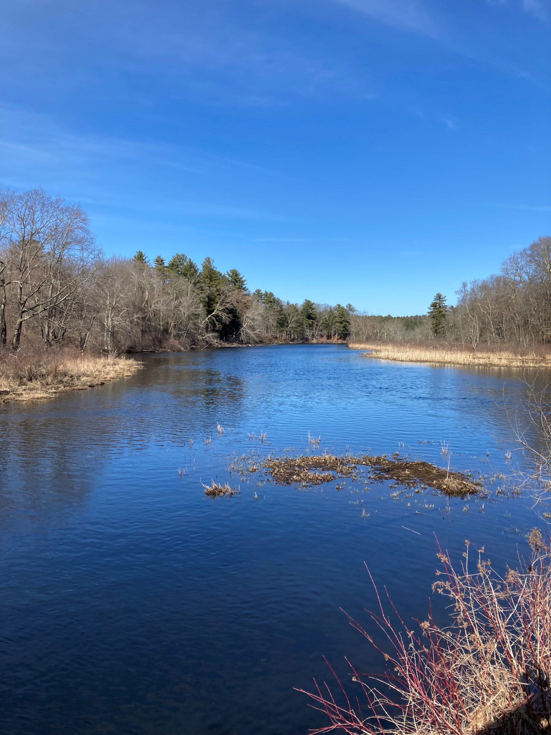
The upper Assabet River is broad and flows gently east.