Month: September 2020

September 29, 2020

Back on the SNETT.


Compassion becomes real when we recognize our shared humanity.

-Pema Chodron


Today, we head out for Millville, about 7.5 miles further down our path to P’town.  Originally inhabited by the Nipmuck people, Millville was first settled by Europeans in 1662, just 42 years after Plymouth Colony was established.  It wasn’t officially incorporated until 1916 and now has a population of 3,265.  The town lies in the Blackstone River Valley National Heritage Corridor and has a well-preserved lock which was used on the Blackstone Canal in the early 19th century.  It also has a historic Friends Meetinghouse.  As its name suggests, it grew around a succession of mills, but in the 1800’s.  The canal, and later, the Providence and Worcester Railroad, provided a means for the transportation of manufactured goods that contributed to the area’s growth.  It was hit pretty hard with the recession of 2008 and is still struggling today.

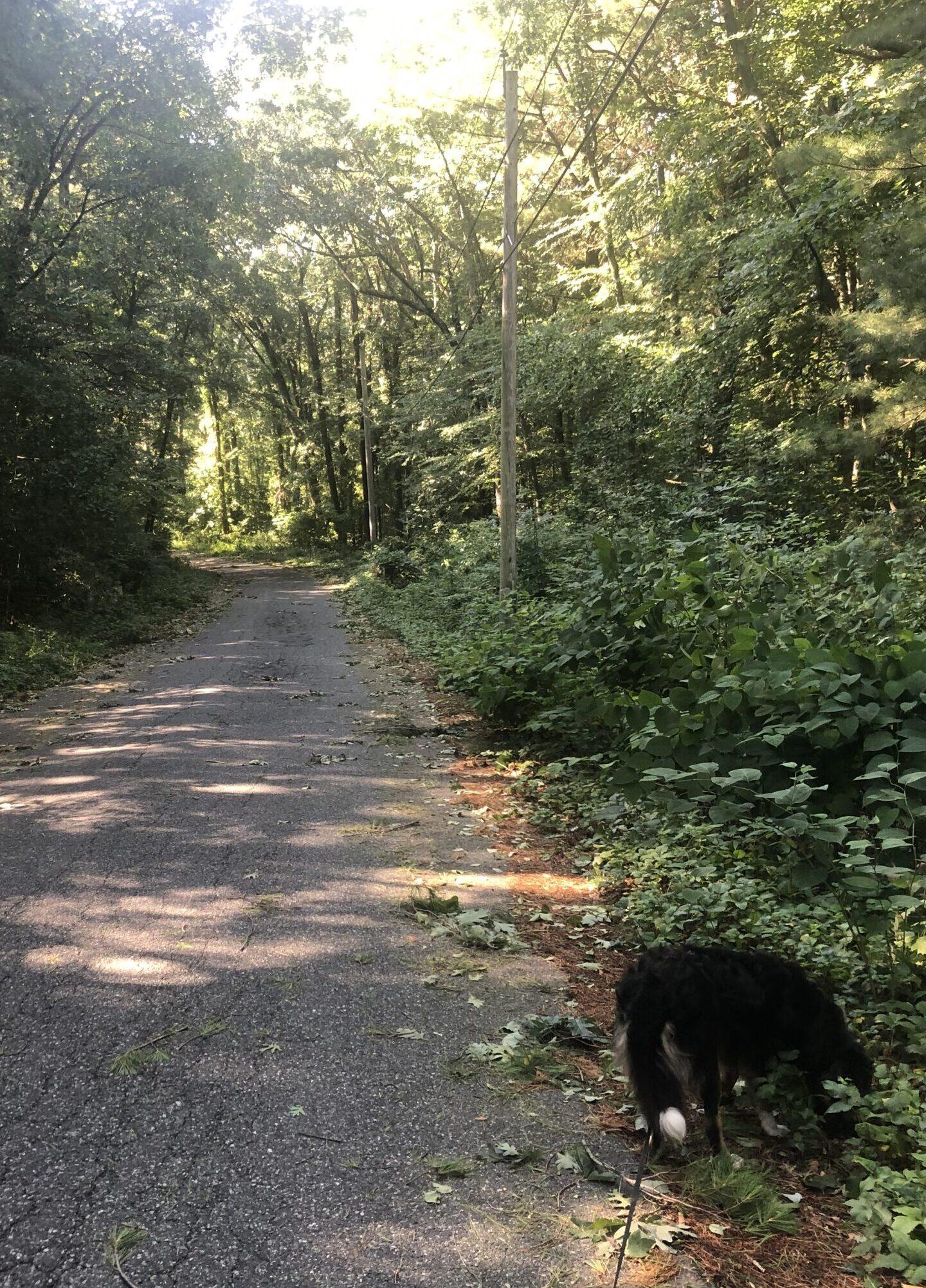
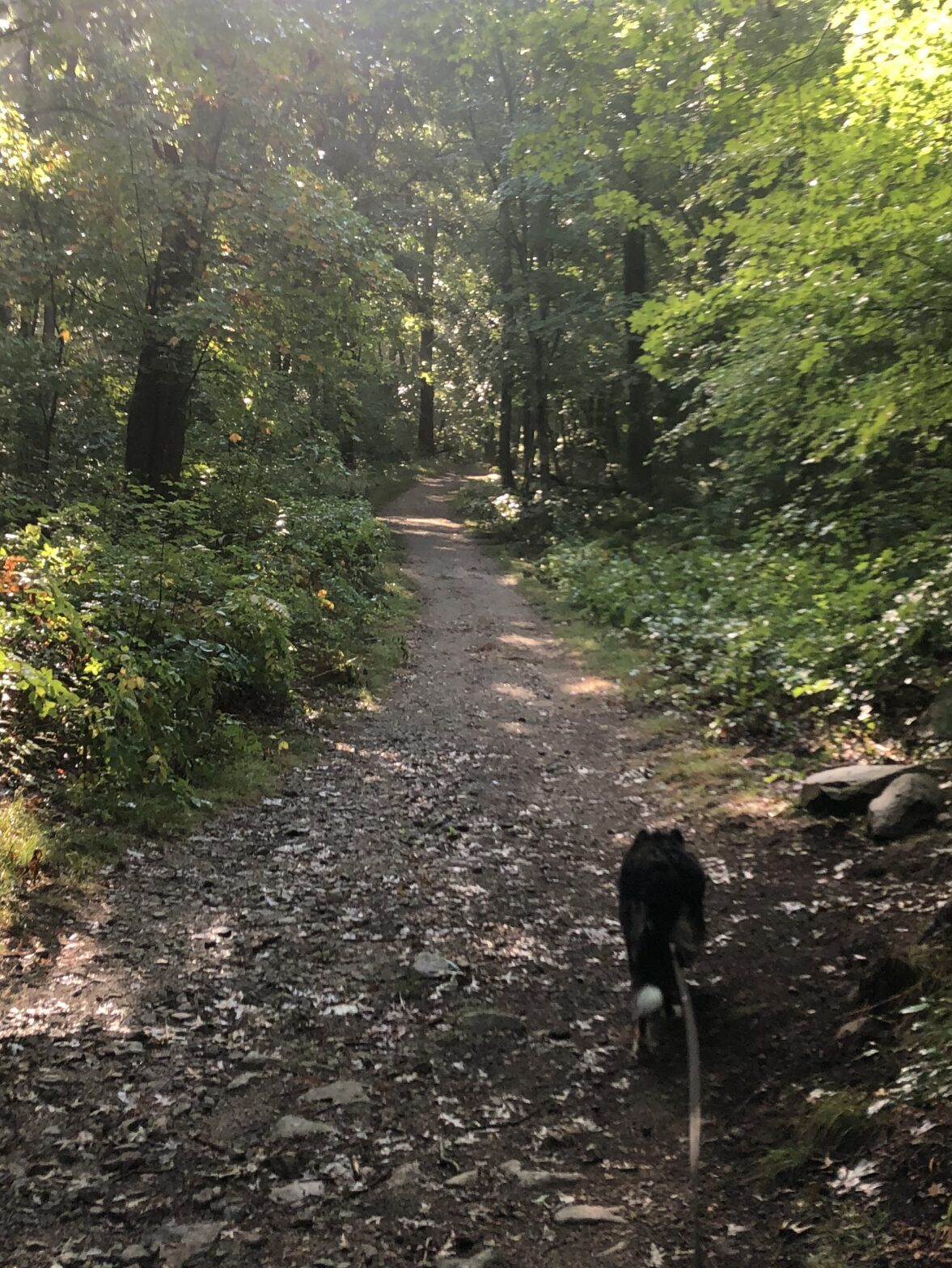
To get to Millville, we’ll continue on down the SNETT (Southern New England Trunkline Trail) from Douglas.  This part of the trial gets a little funky.  In places, it’s a broad, level and graveled path. In other places, it narrows to a rocky footpath.  In one place, as we come to Route 146, a four-lane divided highway, it dwindles into nothing, choked by rocks, undergrowth, and a steep embankment.  When we lose the trail, we have to backtrack and clamber down an incline to a seldom used path that runs right next to Route 146.  A short distance later, we come to a bridge passing over a street and we have to scramble in the weeds beside a hurricane fence to get to the street.  Once there, we follow the pavement, turn onto other streets, until we come across the trail again.  The trail there is cared-for gravel that soon becomes paved.  The blacktop then continues all the way to our destination in Millville.  Such is the nature of this trail.  It varies depending on the effort supplied by the communities through which it runs.  It’s definitely a work in progress.

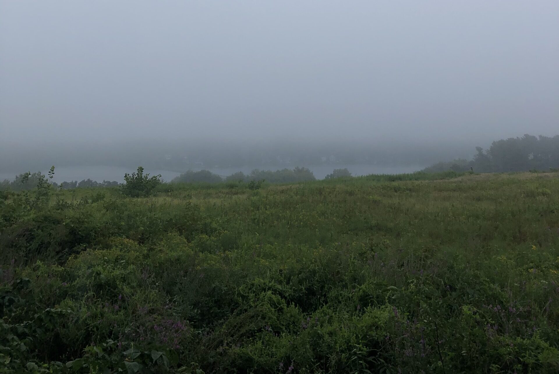
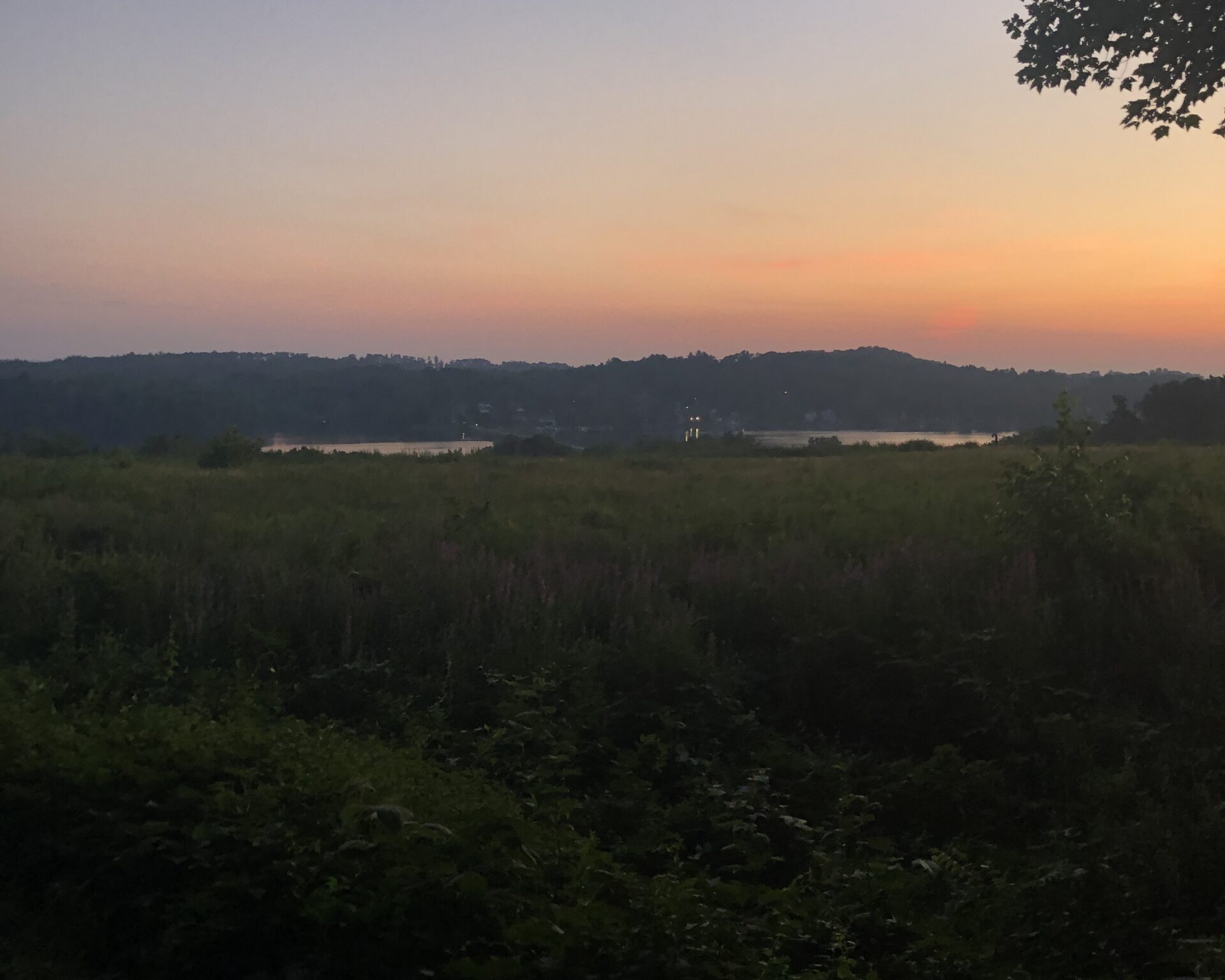
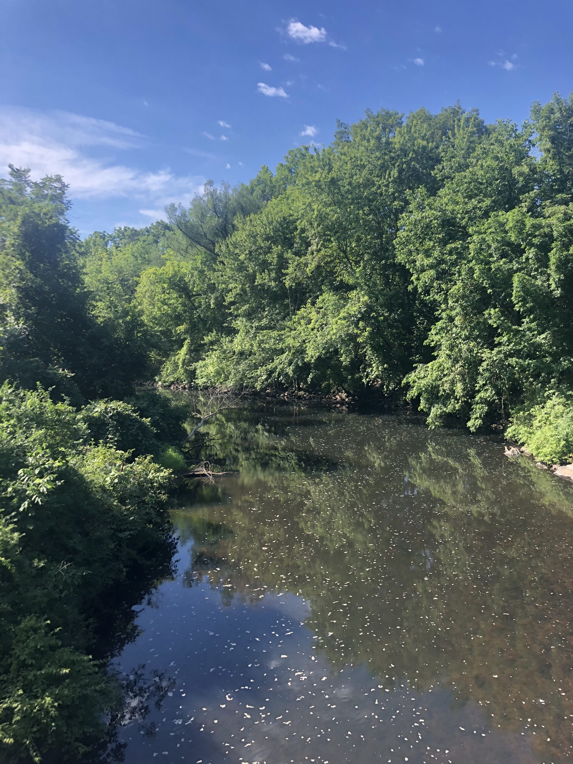
The country we plod through is forestland.  There are no large bore old trees, at least, very few, but many trees that are fifty years old and younger.  The shade is contiguous and the temperature in the high sixties and low seventies.  People pass us, and the number and makeup of those who do vary with the nature of the trail.  There are a lot of people out and about on the paved parts – families with strollers and young children, joggers, bicyclists, and dogwalkers.  The numbers dwindle on the graveled parts where we see mostly dogwalkers and a few mountain bikers.  We are entirely on our own when we have to bushwhack it.  What’s the matter?  No one with a sense of adventure?

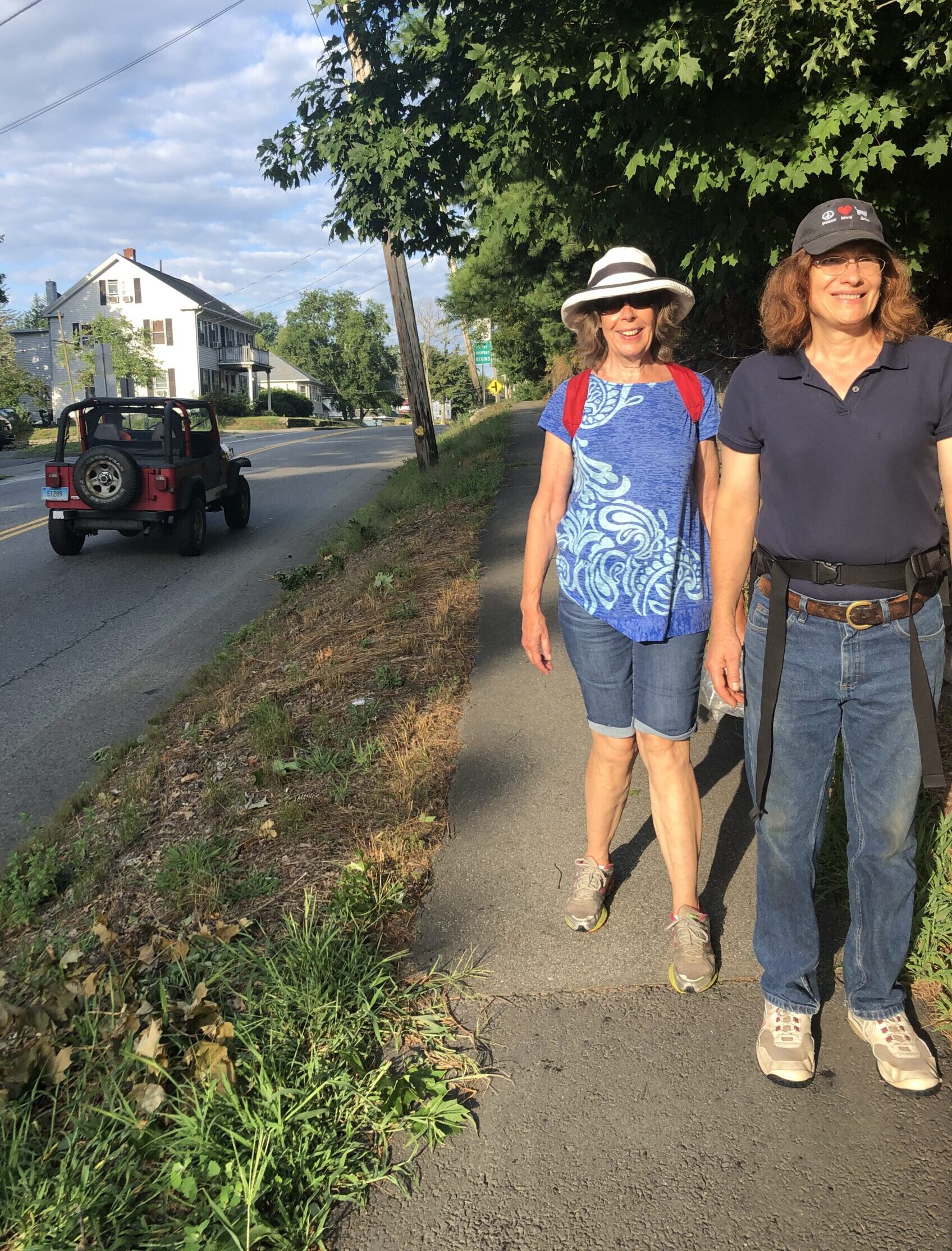
There does seem to be quite a few people out on the trails where we go.  Maybe it’s the influence of Covid, I don’t know.  I did notice an increase in the numbers when everyone was sequestered at home in March, but the numbers seem to be higher than this time last year, even though restrictions have loosened somewhat.  Maybe, just maybe, once people got a taste of walking down these byways, they started to appreciate their worth.  I am pleasantly surprised by the demeanor of everyone we pass.  They all seem happy, friendly and quietly, thoughtfully enjoying themselves.  There is more than one community where someone started a rock garden with a sign that reads something like, “Take one.  Leave one.  Share one.”  Some are just bare stones that can easily fit in the palm of your hand, some are painted bright colors with terse messages meant to brighten the day, like, “Live.  Breathe.  Love.”  Even in these dark days of divisive politics, people on the trails seem to be reaching out, offering and receiving a welcoming message of shared humanity.  The world could use more trail-greetings and fewer street-confrontations.

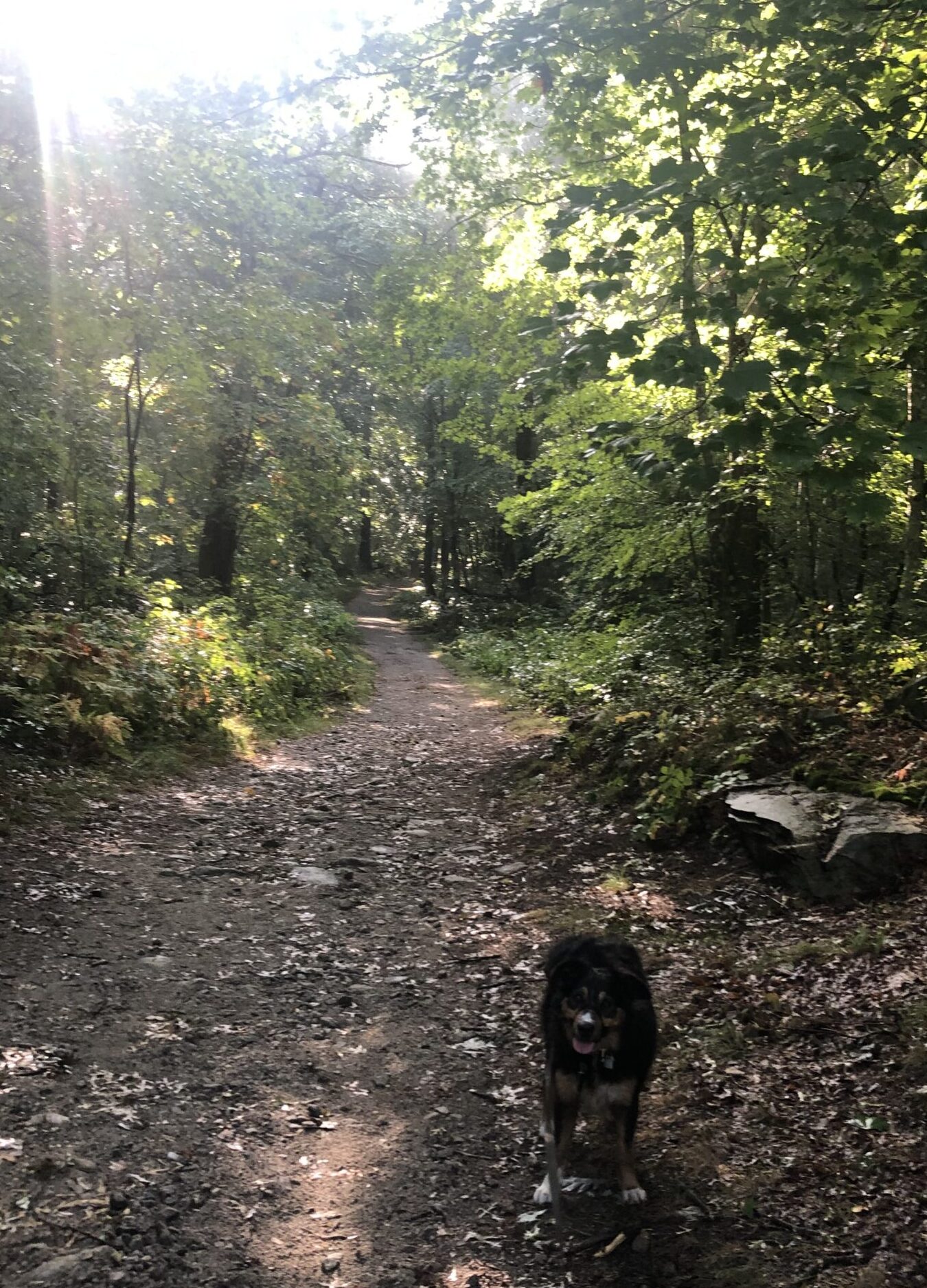
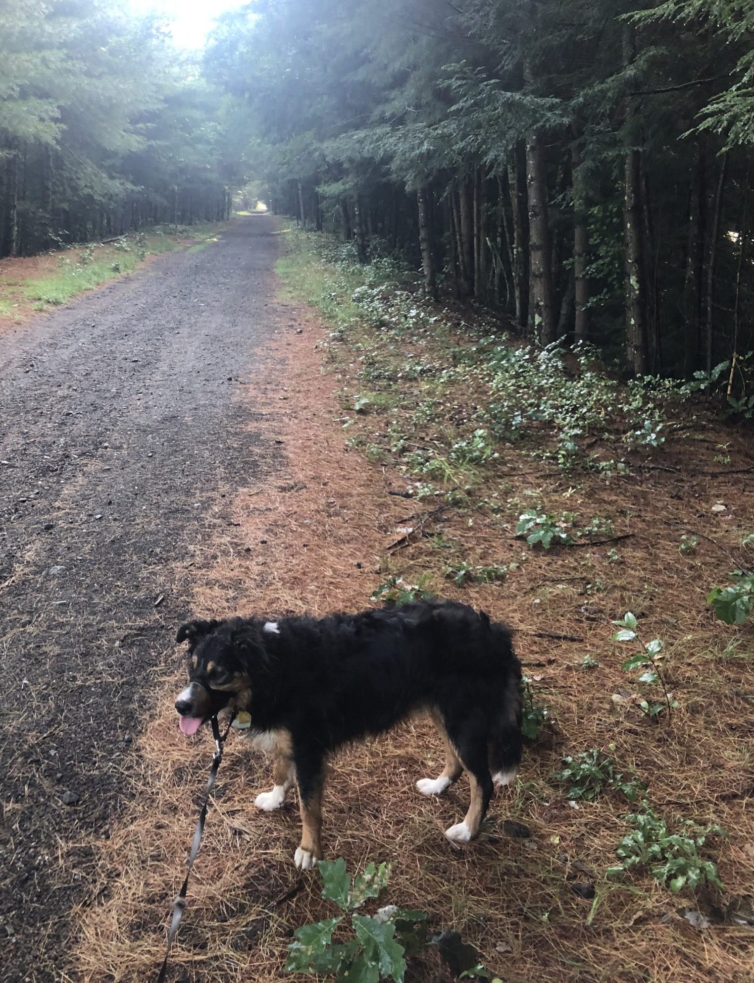
I think Waldo shares in this spirit.  No longer is he a puppy who pulls at the leash so hard he rubs himself raw.  Now, he never barks or growls at other dogs we pass.  He doesn’t make himself a nuisance for other people, or pull at the leash with all his might, trying to get at something that’s grabbed his attention.  He just plugs along, checking out that part of spacetime we’re passing through, taking it all in, never making a fuss.  And he is always eager to make a new friend.

Our next stop is Franklin, the end of SNETT and another 10.3 miles closer to our goal.


Some places on the SNETT are smoother than others.

Posted by Byron Brumbaugh in Walking with Waldo, 0 comments

September 22, 2020

Fort Meadows Reservoir through the fog.


The way I see it, if you want the rainbow, you gotta put up with the rain.

-Dolly Parton


It’s raining…  Again.  Not much, mind you, just a sprinkle.  Instead of roaring down in splatters, it’s tickling the leaves, making them chatter like a bowl full of Rice Krispies in milk.  Not even enough to get either Waldo or me noticeably wet.  I start out our morning walk wearing my rain suit because the forecast is for worse.  But it isn’t long before I’m getting wetter from the sweat I generate and can’t evaporate than I am from the water in the air.  The jacket comes off.  The pants stay on because it’s such a pain pulling them over my walking shoes.  The temperature is in the mid-sixties with a light breeze and I feel a little cooler.

We come to the meadow over which we can see the Fort Meadows Reservoir.  A duvet of grey fog looms thick just beyond the houses on the far shore.  No fishermen in their small dinghies are out today.  I can see the roof of the Bolton Street Tavern, which is open again, with restrictions, but no one is parked in the lot this time of day.  I can see and hear traffic on the streets that run along and through the reservoir, but the traffic is light and the sound seems muted.

The birds still chirp, but they seem to be more subdued, huddled, no doubt, in whatever shelter serves them as their lair.  In my mind’s eye, I see them shake their feathers until puffed out, settle on warm bellies and retract heads so that only beaks and eyes show.  The leaves in the trees where they nest will provide them with Swiss cheese roofs and the natural ability of feathers to roll water off without dampening the skin underneath should keep them dry – as long as they stay put, huddled at home.  I understand the sentiment, but ignore it.

During the late fall to early spring, the land bordering the rail-trail is all well-rooted dormant sticks pointing skyward.  The tan-grey Earth, covered by orange-tan dead leaves and hibernating yellowed grass, is exposed, when not buried in snow, and Mother Nature can be seen in her underwear.  The trees are skeletal and you can easily see through them to the environs beyond.  You could, if the mood struck you, draw an approximate topographic map from what you can see.  Now, in the late summer, especially after a good rain, the trail is wrapped in undergrowth, a green fluffy boa sporting red, purple and bright yellow flowers.  The prima-donna trees are all decked out in their leafy finery and obscure what lies beyond, as if to say, “You need not look any further.  What’s important and beautiful in life is here before your eyes.”  Today, the green seems eager to catch the water as it falls from the clouds and pass it on to the ground where roots can drink it in and stir the life-force that generates even more luscious green.

There are a few acorns, black walnut fruits and other seeds lying on the tarmac that have been strewn there by the heavy winds that accompanied other recent storms.  This time of year, they are small and immature, loosed prematurely from their tenuous grip on the nascent tendrils that attached them to their progenitors.  It won’t be many weeks from now and there will be more – mature, large and prodigious.  Many, as big as green tennis balls, will lie on the trail under the walnut trees.  There, in Waldo’s ball court, the two of us will be playing at chase the walnut fruit as we walk along.  Today, the tiny fruit just tease us for things to come.  Any fruit I kick down the path, Waldo looks at and ignores.  They aren’t tempting enough yet to go after.

The rain, although barely worth mentioning, has apparently convinced the squirrels, rabbits, chipmunks and other critters to stay in their burrows and nooks and crannies.  Come on, guys!  Come on out and play!  It’s not as if you’re going to melt because you get a little wet.  Waldo is at the end of the leash, nose pointed to the front, walking briskly.  I don’t see him doing much exploring with his nose or any of his other sense organs.  He’s just walking.

But me, I’m trying to take it all in.


Fort Meadows Reservoir at dawn on a clear day.

Posted by Byron Brumbaugh in Walking with Waldo, 0 comments

September 15, 2020

At first, the trail is narrow and rough.


Not all those who wander are lost.

-J.R.R.Tolkien


The Southern New England Trunk Line Trail, or SNETT, was designated a National Recreation Trail in 1994.  It was built on a segment of the New Haven Railroad’s Midland Division, which operated between Boston and Putnam, CT.  Today, SNETT runs west 22 miles from Franklin, Massachusetts, to the Connecticut state line just south of Webster.  From the Northeastern Connecticut state border, the trail is known as the Air Line Rail Trail and runs a further 54.6 miles west to East Hampton, CT, in the middle of the state.  That’s a total of 76.6 miles of trail!  I’m tempted to walk the rest of it one day, but for now, we’re going to walk only that part that runs from less than a mile from the Connecticut border to Franklin.  It is level, fairly straight and paved with gravel – at least the part of it that we’re following today.  Many believe that the railroad tracks were laid for commuting from northern Connecticut to northern Massachusetts.  In fact, the route was used to haul ice from Wallum Lake, south of Douglas, to Connecticut.  The route was originally planned as a regular railroad, but its financier died when the Titanic sank in April 1912.

Our end point is Douglas, about 7.8 mile away.  Douglas was settled by English settlers in 1715 and the name of Douglas was given to the territory of the town in 1746.  It was named after a prominent Boston doctor, Dr. William Douglass who gave some money to the residents to develop the town.  The surrounding forest gave rise to a woodcutting industry and the Douglas axe company.  There was also a woolen manufacturing company that was prominent in the history of the place.  General Lafayette stopped in Douglas during the Revolutionary War, to change horses, on his way to join General Washington in Boston.  Today, Douglas has a population of 8,794 and lies in the 5,907-acre Douglas State Forest, a state recreational area.

We start out on Mike’s Way and the temperature is a pleasant 65 degrees or so.  It rained during the night and the ground is damp, but there aren’t any large puddles of standing water.  We walk less than a mile and we come across the SNETT.  The trail is paved with gravel and isn’t muddy at all.  The roadbed runs in a straight line as far as the eye can see, dissolving in the distance into a haze of foliage.  The bed is raised above the surrounding swampland and lined with trees and bushes.  The shade they provide is contiguous except where the trail runs through the surrounding swamp.  I expected it to be very buggy, but, although there were some mosquitoes, it wasn’t bad at all.

Waldo’s demeanor changes a lot as we walk along.  He’s paying attention to what’s around him and picking up sticks to carry along as he trots his way down the path.  He’s wagging his tail and he’s no longer pulling so hard at the end of the leash.  You can tell he’s having a good time.  The shade and a light breeze add to the cooler temperatures for a really pleasant trip.  We work up a bit of a sweat, but nothing like what we were doing in the recent past.  Waldo drinks the water I offer him only once and doesn’t drink much.

The four of us walk along, the humans exchanging pleasantries as we go.  Christine finds a sassafras leaf and a clinker, a bit of steam locomotive coal, and we talk about each.  Christine is very observant and notices a lot I pass by in ignorance.

We pass four other people on our way to Douglas.  Three are out walking their dogs.  They are local residents who use the trail often.  Before I got Waldo, I had no idea how nice it was to have a good trail to walk on nearby to where I live.  And these trails are all over the country.  Whoever came up with the idea is a genius.  The fourth person we passed was a fisherman towing a kayak on a trolley to a small lake that abuts the trail.

The rest of our journey into Douglas is on a bed that’s raised some forty feet above the surrounding forest with manmade landfill.  That must have taken a lot of effort and money to accomplish.  We end our walk in a forest.  Looking to the east, I can see what the next leg of our journey looks like.  It’s verdant, fecund and shady.

That walk is something I, and I’m sure, Waldo, are looking forward to.


In places, the trail widens and is gravel.

Posted by Byron Brumbaugh in Walking with Waldo, 0 comments

September 8, 2020

Can we go for a walk now? Huh, huh? Can we, can we, can we? Please, please, please?


There is nothing so powerful as truth, and often nothing so strange.

-Daniel Webster


Webster, MA, is just off of Interstate 395, some twenty miles south of Worcester, MA.  It was settled in 1713 and its primary founder was the industrialist Samuel Slater.  Slater named the town after his friend Daniel Webster, the noted lawyer and statesman.  Slater founded several textile mills in the area and is now home to MAPFRE Insurance and the Massachusetts division of Goya Foods.  It is also home to Indian Ranch, a summer concert venue that has hosted acts like Charlie Daniels, Thomas Rhett, the Barenaked Ladies, Scotty McCreery, Third Eye Blind, Huey Lewis & the News, Gavin DeGraw and many others.  It lies next to the largest natural lake in Massachusetts, that lake with the longest name in the world that is unpronounceable — Chargoggagoggmanchauggagoggchaubunagungamaug.  Webster’s population is 17,027 as of 2018.

Today, we make our way along the streets and highways from Dudley to the east side of the lake.  The traffic isn’t too heavy and the temperature is warm, but not too hot.  Waldo is nervous as we trek along on the shoulder of the road and spends most of his time out front at the end of his leash.  I can tell he’s nervous because he isn’t sniffing about, looking for what the world is offering up to his attention.  His snoot is to the ground, pointing straight ahead, and he’s walking in a straight line, pulling at me as if he wants to get to someplace better, someplace more interesting.  Maybe he just wants to get the walk over with so he can get on to something more appealing like the Marlborough Rail-Trail.  I keep him well tanked-up with water and he keeps trucking along.

The area we’re walking through is suburban and urban.  Houses with large green lawns are everywhere with a few patches of forest and farmland.  Then, we make a right turn and we’re on a narrow country lane.  It’s paved, but lacks painted lines – just tarmac.  We pass no cars.  The trees on each side bend over us as if they were reaching out to give us a hug.  The shade and slight breeze are blissful.  Karen has, somehow, done it again and found us a cool byway to trek down.  I could imagine we were sauntering down a country lane like those you read about in English villages.  Waldo relaxes and pays more attention to his surroundings.  I can almost hear him say, “Ahhh!”  I know the rest of us are.

It doesn’t last, though.  We get into Webster and, in a few blocks are in downtown.  There, older buildings front the main streets with negligible space between their front doors and the sidewalks.  I have to shorten Waldo’s leash a bit because of the traffic, which he doesn’t like, but tolerates reasonably well.  Our route takes us next to the French River which is little more than a muddy trickle this time of year.  Before long, the temperature is in the mid-seventies and sweat is pouring from us, soaking our shirts.  We keep to the shade as best we can, but there’s not much to be found in the city.  After downtown Webster, we pass into suburban neighborhoods and can see the lake whose name is unpronounceable through the trees.  It’s not long and we pass a sign that reads, “Indian Park,” just off of Route 16.  The place is quiet, but I make a mental note to visit sometime when it’s happening.  We follow Route 16 for a piece, then go right down Lower Gore Road, followed by a left onto Upper Gore Road.  Before I know it, we’re turning left onto Mike’s Way, a cul de sac containing large homes with well-manicured lawns.  There, a total of about 7.5 miles from our starting point at the First Congregational Church of Dudley, is my car at the curb.  I worry about our cars being towed away if found randomly parked on the side of the road, and we usually use business parking lots.  For this leg, there weren’t any convenient businesses on our route, so, instead, we got permission from the owner of 7 Mike’s Way to park out front.  And there the car sat, a wonderfully comfortable, if a bit hot, place to sit and rest.

For most of the next leg of our journey, we follow another rail-trail, the Southern New England Trunk Line Trail.  This will be our path for the next three walks, a total of about 22 miles.

For now, though, it’s home, AC and a nice nap.


We do pass some beautiful country on our trek.

Posted by Byron Brumbaugh in Walking with Waldo, 0 comments

September 1, 2020

Sometimes your path leads you down a busy highway…


A people without the knowledge of their past history, origin and culture is like a vtrree without roots.

-Marcus Garvey


Dudley, Massachusetts, is a town of 11,390 souls that lies close to Webster.  It was officially incorporated in 1732 and was named after its landowners.  In April, 1776, George Washington and the Continental Army camped there.  They were on their way to New York City after the successful Siege of Boston that resulted in the decampment of the British to New York.  There is, reportedly, a large stash of British weaponry that was hidden there and never found.  Dudley is only a few miles north of the Connecticut border.  Our destination is The First Congregational Church of Dudley, about 11 miles away.

We start our trek at around 6:30 AM and the temperature is a temperate 68 degrees.   The sun is about two fingers above the horizon, shadows are long and there’s a light breeze.  Waldo, after having to sit in the car for an hour or so, is eager to get going and tugs at the far end of the leash out front.  Our route takes us through the eastern part of the town of Sturbridge, but, after a short distance, we’re able to veer off the main drags onto small side streets.  At this time of the morning, the traffic is light and not many people are out and about.

Two or three miles down the road and we’re in Southbridge.  The original village was called Honest Town, but in 1816, it was incorporated as the township of Southbridge.  Water from the Quinebaug River provided power for sawmills and gristmills in the eighteenth century and textile mills in the nineteenth century.  By the 1930s, Irish, French Canadians, Poles, Greeks, Italians and others came to work and live there. The place has a long history of manufacturing optical products and it has the unofficial title of “Eye of the Commonwealth.”  The American Optical Company was at one time the world’s largest manufacturer of ophthalmologic products.  They made the Norden bombsight and even did some work on the atomic bomb during World War II.  The company shut down in 1984.  The population today is 16,878 and now includes Puerto Ricans, Laotians and Vietnamese.  All this history gives the town a quaint old New England town atmosphere.  It certainly has seen a lot of history flow down its streets.

Our route takes us into forested areas embracing occasional patches of meadowland and rustic old barns.  The pastureland is well cared for and it appears the hay has all been recently mowed and collected.  Unlike what we saw further west, there’s no sign of putting up hay, so we don’t know if it was packed into square bails or rolled into round bails.  We do come across a few silos, but there is no sign of any stacked hay.  Maybe that’s just a thing out west, not here in New England.

We trek along, putting one foot in front of the other, and, as the day warms up, we sweat – a lot.  Waldo’s tongue goes further and further out from his snoot and is soon flopping around like a wet, dripping flat noodle.  I give him all the water he wants and let him lay down and rest in the shade when the mood strikes him.  He’s not as curious as he is on the Marlborough Rail-Trail and just trots along out front, nose pointed down the road in the direction of our destination.  It’s as if he, like me, has committed himself to this journey and is intent on seeing it through.  Besides the Waldo stops, we also stop every couple of miles and rest our human buns on conveniently sized boulders placed by some humane person in the shade along the road.  Then we’re up, heads bent against the growing heat as if we were leaning into the teeth of a storm.

Some five hours and eleven miles later, we enter the small town of Dudley. I can see, down the street, the First Congregational Church in whose parking lot we left the car.  I am relieved to see the end of this leg of our journey, the longest so far, but I’m also filled with a growing sense of accomplishment.  Accomplishment not just for having walked as far as we have, but to have born witness, up close and personal, to the part of the country where we live with all of its history, geography, agriculture and natural beauty.

Our next journey, only about 8.2 miles long, takes us through Webster and up over to the east side of Lake Chargoggagoggmanchauggagoggchaubunagungamaug, known locally as the lake with a name impossible to pronounce.  But first, a couple of days of well earned, air-conditioned rest.

Except, of course, for Waldo’s daily 6-mile treks down the rail-trail.


…and sometimes it leads you down an idyllic country lane.

Posted by Byron Brumbaugh in Walking with Waldo, 1 comment