Tourists don’t know where they’ve been. Travelers don’t know where they’re going.
-Paul Theroux
Warmer weather is upon us and it’s almost time to start our next long trek. We never finished the Bay Circuit Trail, we’re about two thirds along the way, but that’s been put on hold until Phyllis can join us. She is tied up with her husband, for the moment, but is very much committed to finishing the walk, so we wait. This year, the plan is for Christine, Waldo and I to walk the New England Trail, running from Long Island sound, near Guilford, Connecticut, north to the Massachusetts border with New Hampshire – about 207 miles. Like the Bay Circuit trail, the NET isn’t a separate independent trail, but a collection of shorter trails that run in the right direction and are connected by streets and highways.
I really want to get going on this trek because I don’t want to take Waldo on a long walk in temperatures much above 75℉. Even if we leave home in the early morning to avoid the heat, Connecticut is a couple of hours south of us so we can’t get started on the trail until that much later in the day. The logistics just become impossible by mid-summer.
On the other side of the ledger is the fact that spring is mud season and there are a lot of low-country wetlands along the way. We’re used to that, but there have been so many rainstorms recently and I know the cooler days haven’t dried up the ground they’ve soaked. I can deal with a wet muddy dog, but I really don’t want to have to slog through mid-calf deep slimy swamps, if I can help it. However, it’s time to bite the bullet and deal with whatever happens as it happens. Being flexible, innovative and dealing with obstacles as they present themselves is part of the charm of these walks.
In physical preparation for this trek, Christine, Waldo and I have, in the past three weeks, walked 12.7 miles once and 10.5 miles three times. As far as I can tell, Waldo is no worse for the wear, but Christine and I have gotten a bit stiff and sore as a result. It was nothing that didn’t go away after a day of rest, so we’re confident that we’re in good enough shape to get started. The weather forecast for next week is about as good as it’s going to get, so, unless unforeseen circumstances get in or way, that’s when we’ll start.
Since we leave a car at both ends of our daily walks, part of the logistical planning is to find places where it’s safe to leave a car for about six or seven hours. At our starting point, this is no problem. There is a lot where people can park their cars to go to the beach about 0.2 miles or so from the trailhead. There is also a place 12.1 miles from the trailhead where the path leads across a back country road. The question is, is it safe to leave a car there? How do we find out? There is nothing so disconcerting as to find out your car is not where you left it after a 12 mile hike (that hasn’t happened to us yet, but the thought of the possibility worries me). It may just come down to trusting to luck. The car will only be wherever we leave it for seven hours at the most. I also have no idea if where we would leave it is on private property or not. The worry definitely adds spice to the adventure. I think I’ll leave a sign on the dash with a phone number and a message that reads, “On a hike. Be back at [enter time here].”
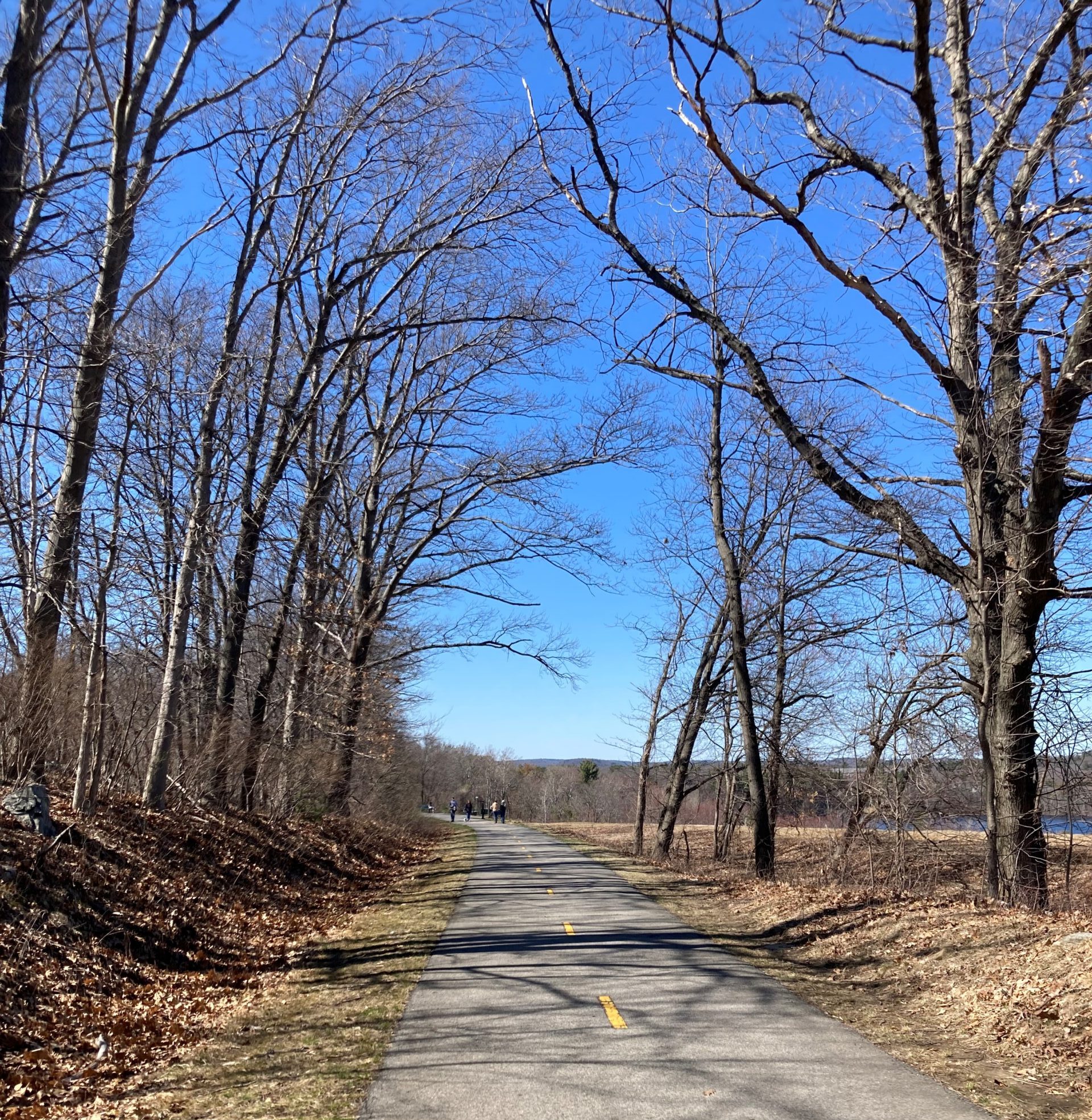
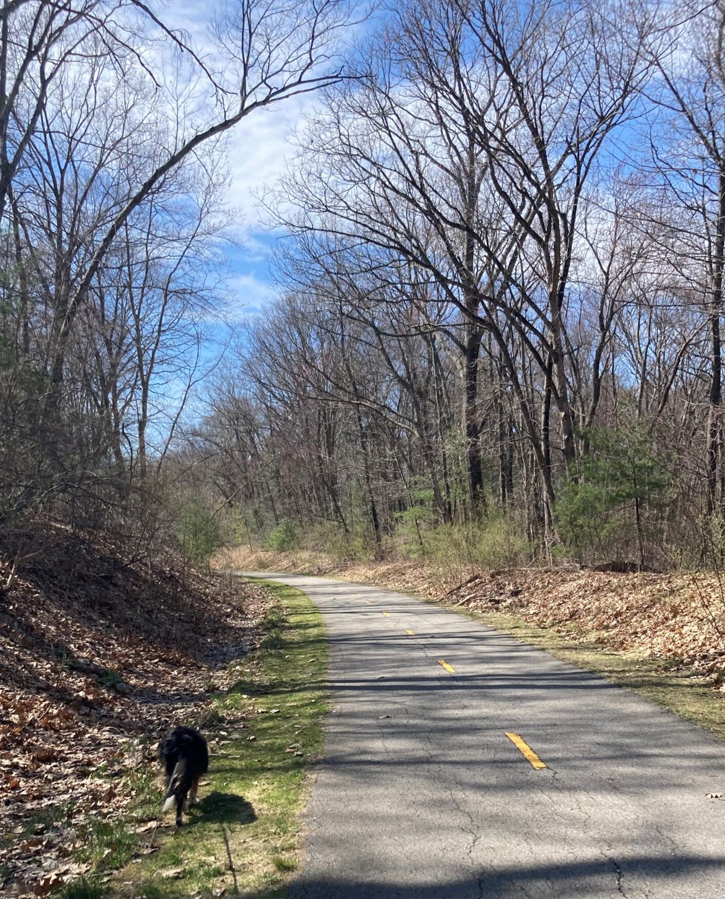
As much as I love the woods and the trail where Waldo and I live, I am looking forward to venturing out once again into unknown territory. I do have a certain penchant for such things, you know. Waldo, he’s always up for finding new sticks to stalk, new smells to sniff and beasts to bother. Christine is enamored by the challenge and all three of us are eager to get started. Until then, we may just do another 10.5-mile walk, or maybe explore the unimproved portion of the Assebet River Rail Trial on the other side of Hudson. There is never a lack of interesting places to walk — all you have to do is look for them.
I’m looking forward to telling you about it once we start our trek.


