


At times, the path feels idyllic.
Destiny is not fate, it is navigation.
-Richie Norton
A dry patch, squeezed between rainy days, provides us with an opportunity to continue our Bay Circuit Trail trek that we cannot refuse. The day is cool, with a high temperature of 68℉, overcast skies and a mild breeze that makes it a really nice day to take a walk in the woods. There is no such thing as a bad day, of course, but today’s weather definitely makes it easy. Christine is able to join us today, after a prolonged hiatus imposed by life’s duties. She, Phyllis, Waldo and I start where we left off at Walden Pond and head south, following the trail as it winds its way through the woods. Waldo is in position out front, the rest of us are in a gaggle close behind.
After about an hour or so, we come across where the trail splits into two separate paths. One seems to be as traveled as the other, so we can’t use the “one less traveled by” rule and, accordingly, we decide that it doesn’t make a difference. A random act of navigation dictates that we go right, instead of left, and we go on our way.
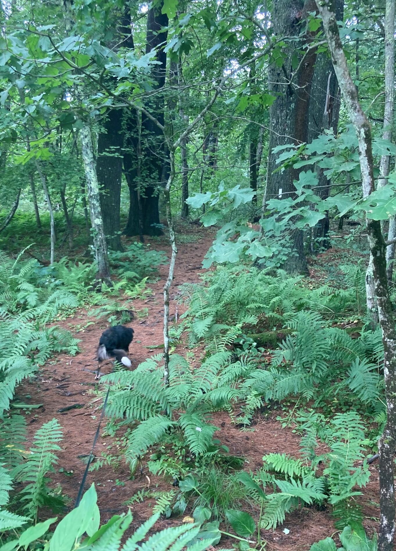
The trail goes up and down a few hills as it meanders through the forest. The ambience feels idyllic, surrounded by deciduous trees and conifers as we step along on pine-needle and fallen-leaf padded ground. Waldo is absorbed hunting for the perfect stick and experiencing a host of new odors. In low places, we pass through swampy land, going over wooden planks that keep us from sinking into the muck and mire. One of the most pleasant features of the BCT is the wide variety of country we travel through.
For no particular reason, I check my phone’s compass and see that we are headed northwest. Hmmm. We should be going southwest to southeast. The trail does wind around a lot as it goes over hill and dale, but this piece of trail seems to be heading more or less straight, and in the wrong direction. There is an interactive map on my phone that shows the trail and a little blue dot that indicates where we are. But the image takes a while to download and as I do the two-finger spread to enlarge the map, the trail disappears. With no better information, we decide that we have taken a wrong turn somewhere and we turn around.
Exasperated and annoyed at the thought of adding unnecessary miles to our already 12-mile trek, we retrace our steps, now going southeast. It isn’t long before we see we’re going northwest again. We are going in circles. Frustrated, we turn around once again and watch carefully for the trail markers. Finally, I’m able to download the trail on the interactive map and I discover a spot where someone has misplaced a trail marker that led us astray onto an interconnecting trail. We ignore it and soon find other markers that reassure us that we have finally made the right choice. Because of this, Phyllis starts using an app that has an interactive feature, but it is sometimes difficult to find the BCT. What it shows as BCT is discontinuous — it only seems to show that part that is in the woods and not those interconnecting places where you have to travel along streets and highways to get to the next piece of trail.
About another hour later and we run into a large grassy field. On its edge, there is a fence post with a BCT marker and an arrow that points off somewhere into the expanse, as if to say, “Go thataway.” The field has tall grass and weeds, but there is no path, per se. There is, however, a swath where it looks like someone has mowed, some time ago, the verdure, leaving a nine-inch-high patch of vegetation, curving off into the distance, amongst the three-foot-high weeds. In the field, there are no trees or posts to put a marker and we can find none. So, we follow the mowed lane, keeping an eye out for a divergence into the woods, and follow along on as best we can on our apps. Sure enough, we soon come to a path going off into the trees and there, on one of the first trees, is a BCT marker.
One of the nice things about the BCT is that it doesn’t take the shortest distance between points. It ventures into different kinds of pristine (relatively) country and historically interesting places as it winds its way along. Having already gone around in circles today, we get a little leery when we notice that we have walked a couple of miles without getting any closer to our destination, but, not to worry, the trail is just making S turns through the countryside.
Fourteen miles from where we started, including the circles, and we arrive back to the car. You know what? Half the fun of this walk is negotiating the navigation difficulties. It wouldn’t be nearly as interesting if the trail were better marked.
We head home to regroup, refresh and rest up for the next leg.
How could anyone get lost in here?