

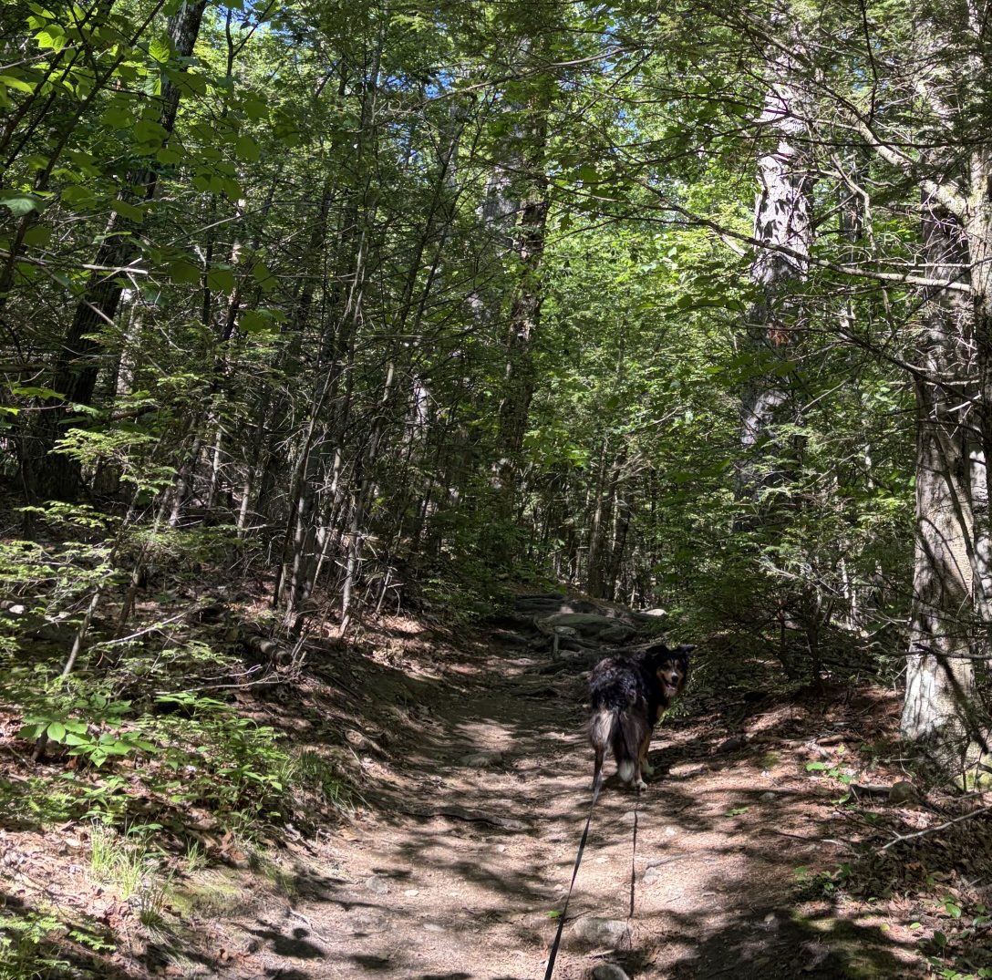
In the beginning, the trail is fairly flat.
Every mountaintop is within reach if you just keep climbing.
— Barry Finlay
Webster says that a mountain is a “landmass that projects above its surroundings and is higher than a hill.” It also says that a hill is a “usually rounded natural elevation of land lower than a mountain.” Now, I have been places, like in the Rockies and the Alps, and on Kilimanjaro, where there is absolutely no question as to what a mountain is. For me, these rounded bumps of land that Waldo and I have been crawling over are, at best, in the gray range. In the Rockies and the Alps, they’d be called foothills. But they are the tallest bits of land anywhere nearby and, when I factor in how much effort I’ve had to put out to get up and down the things, well, okay, I’ll call ’em mountains.
Our next jaunt is over Wachusett Mountain, 2005 ft above sea level. I’ve climbed over it before, in my relative youth (my 50s and early 60s), and I remember the trails leading to the top are very rocky and steep. So I’m expecting a long hard haul (the top is just under 2 miles north and a little over 800 feet up from where we’ll start at the ski lodge) to get to the top. For that reason, I picked an end point about 2 miles from the summit on the down (south) side. That’ll make the day’s trek around 4 miles. Whereas that’s hardly a warmup distance for Waldo and I, I’m sure that, given the topography, we’ll be thoroughly spent by the time we finish.
Christine has once again agreed to shuttle us from where we leave the car to where we start the climb. Damn good thing – I don’t want to have to do any round-trips on the thing. The trail goes up a gentle slope, at first, and wanders around to the west in an arc before getting serious. There aren’t many conifers in these parts, mostly birch, maple and oaks. The trail is covered by crushed leaves and no evergreen needles. The forest is thick and the ground covered in rocks and roots. The rocks are large and granitic, probably left behind when the glaciers of the last ice age receded. There are huge underlying slabs of granite just under the dirt, which should come as no surprise. After all, New Hampshire is called The Granite State, for good reason, and the border is only 30 miles to the north.
As we start, the temperature is in the high 50s to low 60s and the sky is blue. There’s about a 10-mph wind blowing, but that dissolves quickly once we’re deep in the forest. Waldo is eager to go and is pulling at the leash in youthful exuberance. I set an uphill pace that is fast enough to make me breathe hard, but not so fast I need to stop and catch my breath. That’s not fast enough for Waldo and he is bounding uphill, bouncing from rock to rock, insistently urging me on.
After about a mile, the trail makes a hard right turn and goes up with a vengeance. It looks like we’re clambering over an old landslide, there are so many large rocks. In fact, what we’re doing is bouldering – climbing over not just rocks, but boulders. I have hands that can help me out and I take time to find the best route to get over the buggers. Waldo is strictly four-paw drive and is a little intimidated by the lack of good places to plant a paw – but only a little. He pauses only for a few seconds before making a choice of how to continue, but he does hesitate in obvious thought. Waldo’s actually pretty good at finding the best route to take and I, for the most part, follow his lead. We meet a handful of other hardy souls, in twos and threes, and a couple of dogs, making the hike, but not many.
The steep climb continues for a half-mile or so, and then we scramble over a large boulder and we’re at the top, 1.8 miles and 807 feet from the bottom. It has taken us 1:20 to make the climb. Not too shabby.
There is a tall watch tower at the very top, but it’s not open to the general public. Its base is a huge concrete block that’s about 15 feet high with a ramp that people are allowed to go up. There’s a gaggle of school age kids who, of course, love Waldo and want to pet him. Waldo calmly obliges, in his Waldo kind of way. The kids are wandering around and on the base – my guess is that they came up here by way of the paved road that wends its way to the top in a gentle slope. Vehicles can drive on that road, but I see no cars or buses around. There a few adults here too, in groups of 2 and 3. On the top of the base, the 360-degree view is spectacular. Off to the east, on the horizon, I can just barely make out the tall skinny buildings of Boston. To the north, I can see the hills of New Hampshire from whence we came. To the south are a few lower hills whither we go. Westward are miles and miles of green rolling country. Where I grew up, in Utah, such a panorama would be painted in shades of yellow and tan, not so much green. The green around here is something that always impresses me deeply.
After a 20-minute break to water the Waldo and rest up a bit, we head down the south side of the mountain. The down-trek is even steeper and more bouldery than the trail we came up. I need to proceed carefully to make sure I can, at my advanced age and decreasing agility, get down from one boulder to the next safely. Even Waldo waits and follows my lead when he makes many of his path choices.
Finally, we make it to flatter ground and then the car. We walked a total of 3.9 miles, made a little over 800 feet in elevation gain and did it in just about 3 hours (with a 20-minute hiatus). Though I am significantly on the spent side of tired, still, that’s not too bad for an old fart. This is last of the big hills we have to negotiate on the Midstate Trail. From here, although there will be some ups and downs, the going should be fairly flat and easy. It’s going to get too hot to continue in about a week or so, so we have to keep going. That way, when we start again in the fall, we have some chance of finishing before the first snow.
So, tomorrow, onward we go!
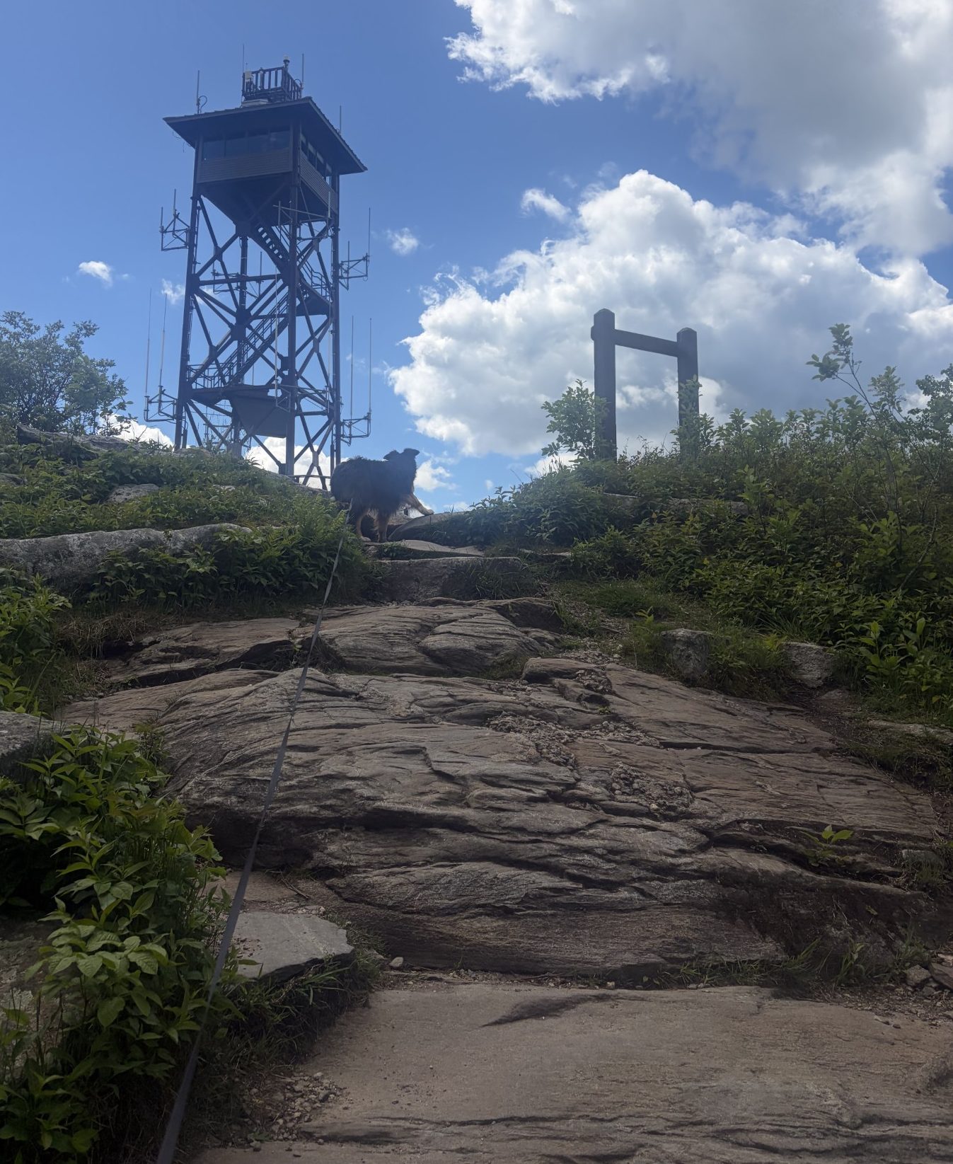
But it doesn’t last.