

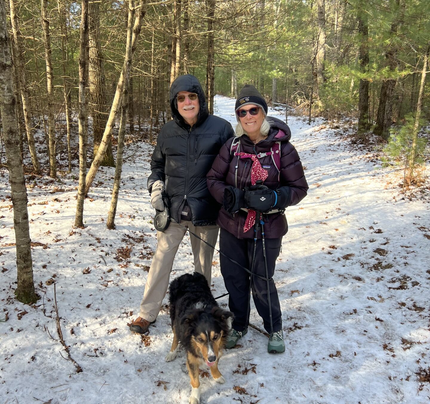
A bit chilly as we start out.
“The only guarantee for failure is to stop trying.
-John C. Maxwell
The day was parka cold when we started out on the southern part of the final loop of the Bay Circuit Trail. This leg is supposed to be 13.4 miles long, but we always seem to wander, so it might be a little longer. The days are still short, so Waldo and I got up before dawn, drove about an hour and twenty minutes to get to Kingston and parked at a marina on the shore of Kingston Bay. In a few minutes, Phyllis drove up in her car. She was a bit agitated because she couldn’t get her phone to work.
I took a look at it and instead of the bars in the upper right corner of her screen, the ones that show signal strength, she had capital letters that said “SOS”. I guess that must mean, “Sh*t Outta Signal”, because her phone wasn’t talking to anybody. The rest of her phone seemed to be working fine, it just wasn’t connected to the outside world. Mine was working normally, which was kinda odd, because we both have AT&T as a carrier. We decided that as long as we had one phone working to show us on Google Maps where we were as we hiked, we’d be just fine. We drove to our starting point in Pembroke and started our walk.
The first part of the walk was along a rural highway. The traffic wasn’t too bad, so I was able to let Waldo head out to the forward end of the leash when there were no cars. We walked on the left side of the road, facing the approaching traffic, so when I saw a car coming, I told him, “Stay with me!” and shortened the leash. He readily obeyed and came alongside where I was walking and stayed there until I told him, “Okay.” He then happily resumed his place on point. He’s such a good dog.
Soon, we were off-road and into the woods. Phyllis and I were still making our way through the “Thirty-Six Questions,” so we weren’t paying close attention and we made a wrong turn that had us backtracking. We didn’t realize it until we came out of the woods where we went in. We do that sometimes. I looked at my phone to get reoriented and guess what? There was “SOS” on my screen. We decided to go back into the woods and be more careful about watching for the trail markers. We stayed calm and carried on.
This time, we came out where we were supposed to, so we followed the markers and went down the road. The BCT trail markers are about three inches or so in diameter and usually posted on telephone poles on the side of the road. They aren’t posted all that often, but tend to appear, usually, in places where you need to make a choice as to which way to go. Anyway, Phyllis and I were on question 14, “Is there something you’ve dreamed of doing for a long time? Why haven’t you done it?”, which was quite absorbing (we do have bucket lists), and, after a bit, I noticed it had been a while since I saw any markers. We could retrace our steps and look for them the way we came, but today’s trek was some 13.4 miles long without backtracking and I didn’t want to make it any longer. There weren’t any people around, so we did what any lost intrepid explorer would do, we went and knocked on the front door of a nearby house.
My plan was to ask the occupant if they would please share their wi-fi password so I could get online and pull up a map that way. A woman came to the door and, after I explained our predicament and my potential solution, she said she’d get her son. A thirtyish young man came to the door and told us the Bay Circuit Trail was just behind their house and he could show us where it was. He took us out back a few hundred yards and, voila, there was a path with a BCT marker nailed to a nearby tree. We missed the place where the path went from the streets into the woods and had been walking parallel to it on the paved road. We thanked the man and continued on our way, trying to redouble our efforts at paying attention. Ah, the trials and tribulations of walking the Bay Circuit Trail…
After a couple more hours and four miles or so, without wandering off trail again, the signal on my phone came back. A bit later and Phyllis got her phone back too. Now we were once again confident that we could find our way and we wandered no more for the rest of the trek.
The country we walked through was mostly boggy pine forest. It seemed like all the trees around us were white pine, but that couldn’t be true, because the ground was covered in a thick carpet of dead oak leaves. I guess the bare-limbed oaks were hiding amongst the green, needly, fleshed-out pines. All I know is that the pines grew thick around us. Here and there, in the low places, the ground grew muddy under the leaves and Waldo soon had black paws and belly and smelled like wet swamp dog. Ah well. He was having fun.
13.7 miles from the start, we got to the marina and our car. My arthritis was starting to act up again, so I was very grateful to be able to sit down and relieve the pain in my low back. We headed back home and my beloved recliner.
We only have one more leg to do, the northern part of the loop. It’s supposed to be about 13.7 miles long, but who knows how long it’s going to be, the way we do it. Five days from now, it’s supposed to be clear day with highs in the upper 50s! Shirt sleeve weather. We’re going to finish this thing then, for sure.
I hope AT&T cooperates…
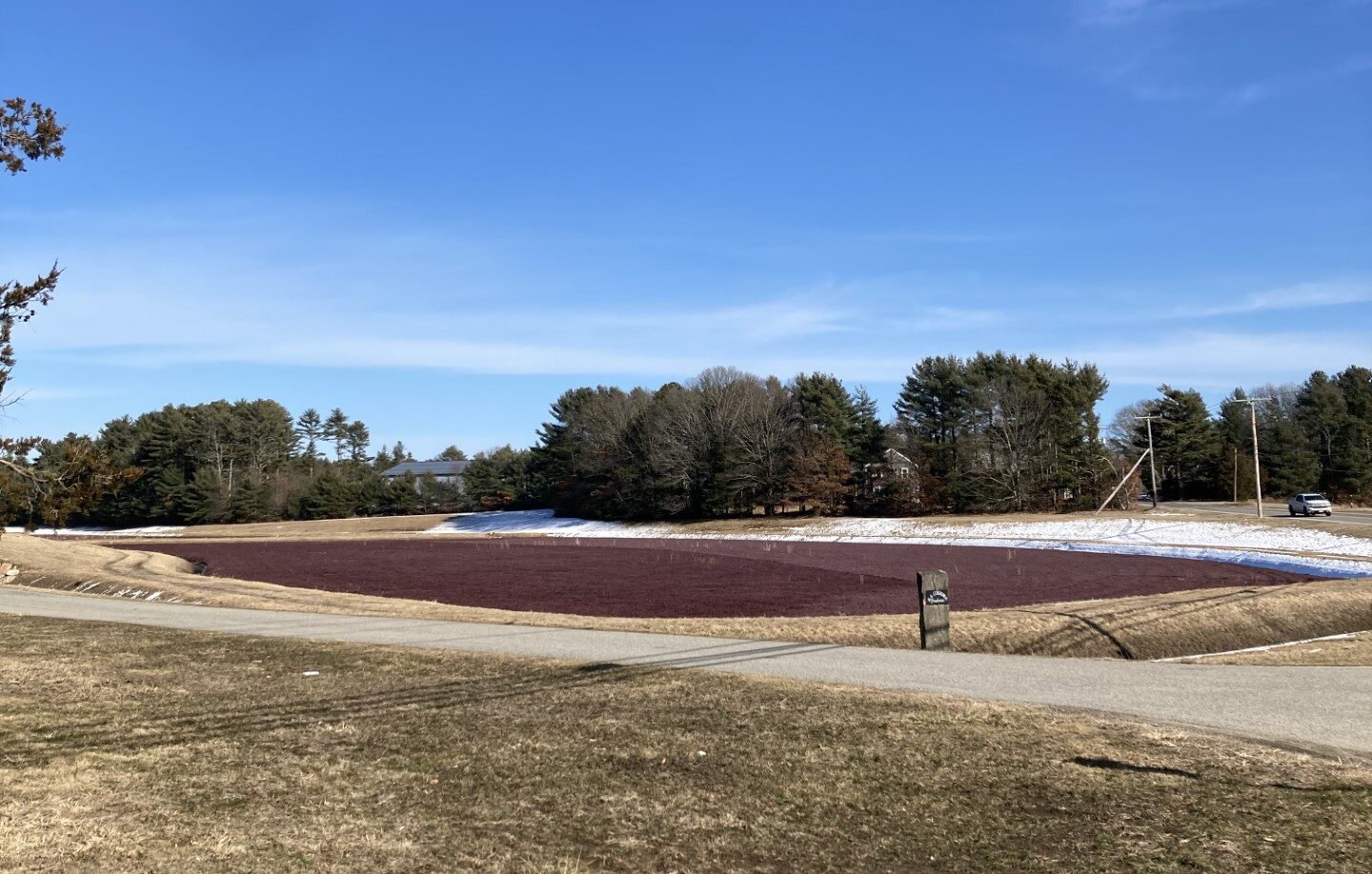
One of the cranberry bogs we passed.