

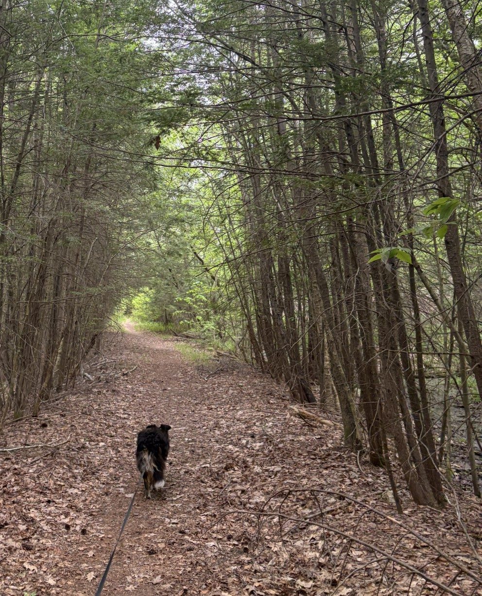
Sometimes, the trail is obvious.
Between every two Pines is a doorway to a new world.
— John Muir
The walking season is getting short. Soon, there won’t be any days left that have a weather window wide enough to entertain temperatures of 76℉, or less, for long enough to hike very far. Once those days are gone, Waldo and I will have to wait until fall. 76℉? You may say that isn’t very hot. Ah, but when the sun is beating down on you and you’re hiking up and down hills for many miles, it’s too damn hot. Especially when you’re wearing a sable birthday suit and the only way you have to cool off is to pant. When Waldo was younger, he would take hot weather in stride, within reason. But now, he’s apt to lay down in the shade and look up at me with a look that says, “Uh-uh. I’m done. Let’s go back to the car.”
Since we’ve had to do much of this hike on our own, I’ve been looking for end points that are 3 or 4 miles apart, so we don’t have to go more than about 8 miles at a time, round trip. At that rate, it will take us forever to go the full 101.6 miles. We certainly can’t make much progress before the hot gets here. So, I call Christine and ask her if she’d be willing to shuttle us from where we leave our car to where we want to start the day’s trek. Unfortunately, she can’t join us because she’s having problems with plantar fasciitis, which causes a lot of foot pain to walk. She lives about a half-hour away and graciously agrees. She picks us up, where we leave our car at a drug rehab center in Westminster, and drops us off where we left off on our last hike, some 5 or so miles away.
We’re still in the hilly country of north-central Massachusetts, so, although it won’t be as bad as it was around Watatic, there will be hills and I can’t know how challenging it will be. We start out on a paved road and have to follow it for a half mile or so, until the trail hangs a hard left and we’re deep in New England woods. We’re surrounded on all sides by tall deciduous new growth trees, mostly oak. These parts were covered in very large-bole trees in the 18th century, but by the late 19th century, they were almost all gone. Some used for shipbuilding and others were cleared for farming. After the late 18th century, ships were built more and more from iron and steel, propelled by black-cloud belching engines that didn’t need tall masts, and farmers moved west where the ground was more fertile and had fewer rocks. Since the late 19th century, the land was left to regenerate and the trees came back (often with some human help). So what we see now are trees that are, for the most part, less than 100 years old.
Still, the land has had enough time to birth dense enough forests that sunlight does not penetrate, with force, all the way to the forest floor. That means that there isn’t a lot of undergrowth that we have to bushwhack through and the going is easy – except for ubiquitous tree roots and large rocks left over from the receding glaciers of the last ice age. The trail is often not much more than a narrow swath of barely concave dirt, root and rock, filled by dead leaves. You often can tell where the path is only because that’s where the leaves are ground up by passing boots, whereas, elsewhere, the leaves are more intact. Well, that and the yellow triangular trail markers nailed to a trunk, here and there, that occasionally mark the way.
All the same, Waldo is really good at following the trail, until we come to a place where it crosses another trail. He then, more often than not, picks the wrong way to go and I have to redirect him. We sometimes wander off our route, because I’m paying close attention to where I’m putting my feet and don’t notice we’ve gone astray. It doesn’t last long, though, and we correct our mistake.
It occurs to me that I can see where I put my feet and avoid mishap, but Waldo cannot. He can only see where he puts his front feet. Still, he strides forward with great confidence and doesn’t stumble very often. Following him in the snow, I’ve often seen him plant his back feet into tracks left by his front feet. I assumed that four-legged animals evolved spine and leg lengths to make that happen because it optimized their speed. But maybe much of it has to do with being able to put feet you can’t see on ground you know is stable because you just put a foot you can see on that spot. Mother Nature’s design capabilities are fascinating.
We go up and down a few hills, but they aren’t very steep or high and we move at a good pace. 5.3 miles, 2:25:34 after we started and with only 591 feet of elevation gain, we get to our car. Not bad at all and I’m not all that tired. Maybe I should start looking for trail sections 7 or 8 miles long. The next leg will be about 5.5 miles long and will put us at the base of Mt Wachusetts. Now that is a hill. It’s the tallest mountain on the Midstate Trail and has an elevation gain of around 1000 feet in less than 2 miles. I’m planning on only a little over 3 miles for that slog, including going up one side and down the other..
Tomorrow is another cool spring day, so, with Christine’s help, we’re going to add another good distance to our journey.
Mount Wachusetts, here we come!
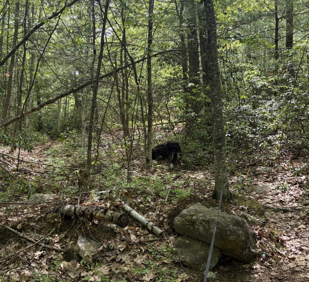
And at other times, not so much.