

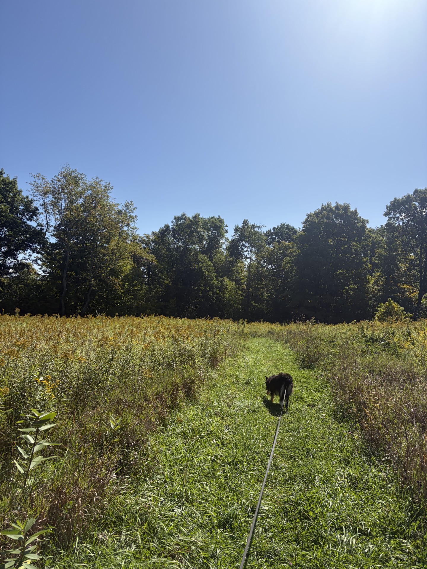
Someone has mowed a path through the field.
A walk in the forest is not merely a walk; it is a sacred pilgrimage into the heart of stillness.
— Bhuwan Thapalia
Phyllis is busy and can’t join us today for the next leg of the Midstate Trail. Christine can’t go either, but she has graciously agreed to shuttle us from where we park our car to where we start our trek. Today’s hike is roughly 6.1 miles long, sinuously meandering through deciduous and pine forest, going up and down low hills, over roots and rocks and through weeds and, occasionally, brambles. Waldo’s dream walk.
It’s 9:15 when we start. The sky is blue, the ground, dry. The temp is in the low 60s and it’s windy, but we’re well sheltered in a green tunnel. As soon we hit the dirt path, Waldo is out front, tugging at the leash. His limp is indiscernible and his pull is strong enough that he must be pulling with both hind legs. I’m cautiously optimistic about his condition.
Some of the trees at the beginning of our walk are old, 100 – 150 years old, I’d guess. As we walk along, the types of trees change – sometimes mostly pine and, at other times, mostly oak. What dominates is a function of a few variables, like the type of soil (pine does better when it’s sandy), how wet the ground is (hemlock likes it wet) and how long the trees have been growing (pine will fill in a meadow first, followed by deciduous trees).
Weeds grow much faster and the kind of undergrowth changes, not only seasonally, but from one year to the next. The smaller plants here in the lowlands are different from what I saw in the mountains of New Hampshire (I don’t see any mountain laurel here, for example).
The trail itself is narrow and carpeted with either boot-ground dead oak leaves, or pine needles. Although well marked with yellow triangles, there are places where it crosses another trail, or forks off in two directions. I don’t have to be hypervigilant, but I do have to pay attention so we don’t wander off trail. After a while, the trail broadens and resembles a road once traveled by small 2-wheeled vehicles of some sort. The going is so obvious that I miss a place where the Midstate trail branches off to the left. I catch it only because I glance at the interactive map on my phone, which shows a red warning that reads, “Off Route.” We back track and I find where we went astray and we continue.
Somewhere around 4 miles into our walk, we cross a road and plunge into a large field of shoulder-high weeds of various kinds. My perspective is so limited, I even lose sight of Waldo. Leafy branches hang over the trail and obscure anything more that 3 or 4 feet away. I look around, expecting to see powerlines or some other reason for the forest to be cleared and see nothing but a sea of weeds. I soon become busy fighting the pesky things because they turn into Rosa multiflora, a bane to my hiking existence. Like any other rose plant, the stems are full of nasty thorns that pluck at my clothes and slice into skin. A frigging briar patch. Waldo isn’t bothered at all, due to his thick sable birthday suit, and pulls steadily at the leash.
I’m still curious as to why this field is here and consult the interactive map on my phone. It turns out that we are passing just north of the Spencer Airport. The runway is there, just beyond the brambles, I just can’t see it.
Spencer Airport has significance for me because I used to fly an aerobatic airplane out of there. Landing was a challenge, because the runway was rough, narrow and short. I had to be precise and touch down at the very end of the runway in order to have enough space to stop before I ran out of tarmac. It took some practice (I used to practice at Worcester Airport), but I eventually became skilled enough to do it without trouble.
Ah, those were the days! A friend of mine and I would take off from Spencer, fly to Worcester, do some touch and goes, then go off to a practice area and do some loops, rolls, spins, hammer heads, and so on, and finally return to Spencer. Sadly, that is something I cannot financially do in retirement.
Anyway, the owner of this tiny airport died and it’s no longer cared for. Pilots can still use it, but at their own risk. The tarmac is now uneven, cracked and clumps of grass grow in the crannies. Like my flying, Spencer Airport is something that has been left to the past. The last time I was there, in a place where I could see the runway and surrounding hangars, there were no planes nor any evidence of any having been there recently.
After about another mile, the trail turns down an asphalt-paved road and we finally get to our car. Again, we passed no one on our walk. Waldo is eager to get home and readily jumps into the car. We traveled 6.2 miles, with 545 feet of elevation gain, in 3 hours and 15 minutes. Another leg of our journey is complete. We only have 6 more legs, but many of those will have to be round trips, unless I can convince someone to shuttle us around. Sigh. I want to limit each day’s walk to 6 to 7 miles or so, so that means there will be 12 more days of our walking the Midstate trail until we get to the end in northern Rhode Island.
For now, it’s home and rest, until it’s time to head out again.
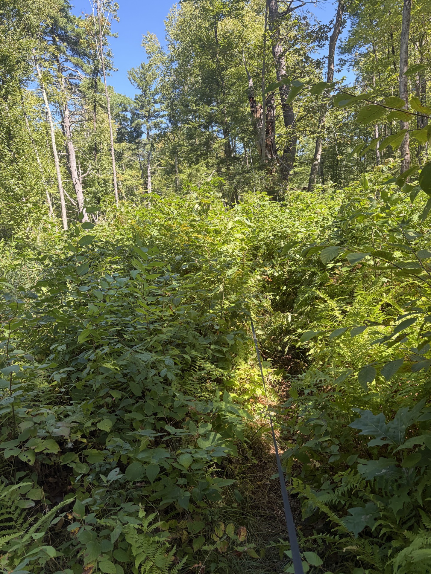
There’s a Waldo in there somewhere!